App: SmartTransportation
Hosted on GitHub:
Smart Transport Mission Statement
Smart transportation is an application that shows the user his/her carbon emissions for a car trip. The core purpose of the app is to enable the user to become more aware of the carbon footprint produced by his/her daily commute. It is estimated that a single passenger produces up to 4.7 metric tons of 𝐶𝑂2 emission per year, which is detrimental to the environment and threatens its long term sustainability. By illustrating to the user his/her daily contribution to the net carbon emissions produced per year, the team aims to bring more awareness to this issue and hopes to encourage the user to consider more eco-friendly means of transportation.
The application includes several different features that make it usable for a more universal audience. The application interface starts off by showing the traffic conditions in the city of Toronto and subsequently provides the user with a widget to plan his/her trip. The widget shows the user the travel distance from his/her initial destination to final destination. Consequently by visualizing the traffic layer the user can also examine the traffic conditions along the planned route.
By accessing a car model widget the user can further determine the fuel required for the trip, by initially determining the fuel economy of their respective car model. The widget includes car models from year 2000 to year 2017. Using the estimated fuel economy the user can then proceed to the Carbon Footprint calculator widget which allows the user to estimate his/her carbon footprint for the planned trip. Through awareness of their carbon footprint, the user can then consider alternate means of transportation or in general become more considerate towards their daily usage of vehicles with high carbon emissions.
Video Presentation
Documentation
Team Members
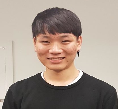
 Won Mo (Andy) Jung: I’m a 4th year Geomatics engineering student at York University, Lassonde school of Engineering. I have specialized skills in variety of areas, such as remote sensing, image processing, GIS, surveying, etc. Despite the fact that I’m not a software developer, I have some software developing experience using Java and MATLAB. I have a strong background in theoretical understanding of geographical information system and further related fields. I have work experience from Natural Resources Canada – Surveyor General Branch and Ministry of Transportation as a geomatics plan technician. Hence, I have experience in researching, producing and maintaining engineering and title records. Furthermore, I’ve generated and assessed engineering survey products using specialized computer software, drafting techniques and GIS tools and software.
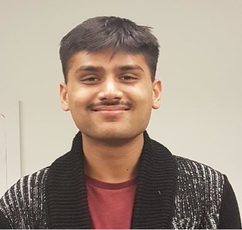
 Faizaan Naveed: I am a 4th year Geomatics Engineering student at Lassonde School of Engineering, York University. Presently I am working as a research assistant in the Petrie Science and Engineering lab to delineate individual tree crowns in order to identify the spread of the Emerald Ash Borer infestation. As an engineering student, I have proficiencies in software development, surveying, GIS, remote sensing, computer vision, and physical and space geodesy. Having worked in research, I plan on continuing my academic endeavors as a graduate student. In my spare time, I enjoy reading and programming. My non-academic interests include philosophy, economics and sports.
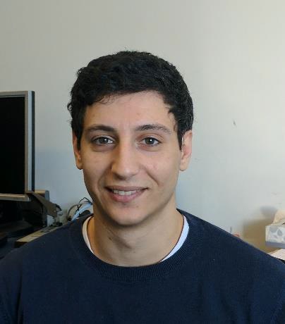
 Phillip Robbins: I am Geomatics Engineering Graduate at York University. Presently I am working as a graduate student on research in the field of computer vision and machine learning. My areas of interest include the field of land surveying, GIS, remote sensing, computer vision, software development, and finance. I plan on continuing my carrier in industry in the field of machine learning. In my spare time, I enjoy reading, programming, martial arts, and spending time with my family and friends.