App: Sustainable Transportation: Toronto
Hosted on GitHub:
Synopsis
This is an app that provides a map to display sustainable transportation in the City of Toronto. This map provides bus stop and bike rack locations in specific neightbourhoods. The map is represented as a gradient map to display four different types of comparisions. The comparisions are number of bus stop locations compared to school locations, number of bus stop locations compared to points of interest, number of bus racks compared to schools and number of bus racks compared to points of interest. Based on this information the end user can make an informative decision where they would like to live based on how well public transportation and bike routes are available. Other users such as planners will have a better idea on where to locate schools, points of interest and bus stops.
Video Presentation
Documentation
Team Members
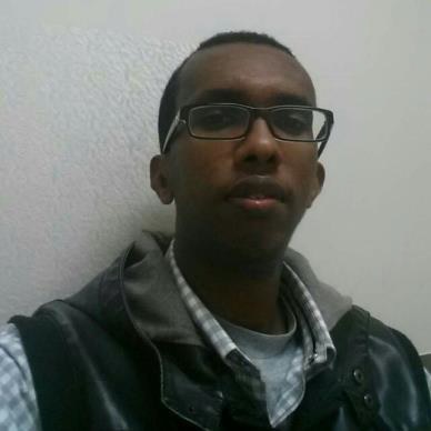 Guled Sheikh: Guled Sheikh is a fourth-year geomatics engineering student at York University. He is planning to finish his undergraduate studies this coming April. Currently, he is managing an MTO project where accuracy assessment of MTO ARAN-9000 system in comparison to the high accuracy and precision geodetic measurements is been conducted.
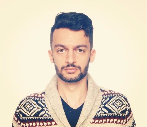 Ario Hadian: Ario Hadian is a third-year geomatics engineering student. He thinks that it is truly a blessing to have stumbled upon the discipline of geomatics because there is no day where something interesting is not taught in his lectures. Not everyone finds something they are good at and something they are passionate about. However, Ario is lucky enough to have found both. Ario is currently doing research in printed electronics and is looking forward to publishing a paper this summer. Ario is excited to see what the team can put together for this competition.
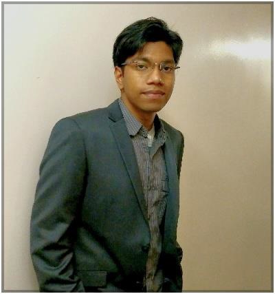 Aaron Boda: Aaron Boda is a fourth-year geomatics engineering student at York University. From his education, he has gathered knowledge in various fields of geomatics including geographic information system (GIS), global navigation satellite systems (GNSS), photogrammetry, geophysics, remote sensing, land surveying and mapping. He is also involved in an undergraduate research project where his responsibility is to enhance the topographical database with digital images and maps showing the find-spots of antiquities in Athens with the help of GIS. Such opportunities have provided him a chance to directly apply the knowledge learnt from classes.
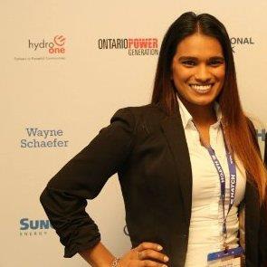 Patricia Dhup: Patricia Dhup is a third-year geomatics engineering student. Patricia takes an active role in the Lassonde community. She is the president of the student run Geomatics Club at York University. She is also a Lassonde student faculty representative. Patricia won the York engineering debate competition in 2016 and had the chance to represent York University against all other schools in Ontario. Patricia is knowledgeable in surveying techniques and geomatics concepts and is excited to bring value to this team.