App: Helping Hands Toronto
Hosted on GitHub:
Mission Statement:
Life in Canada’s largest city is rarely easy, with one in five Toronto residents currently living in poverty. For those struggling to make ends meet, it can be difficult to secure all necessities of western life such as sufficient nutrition, educational resources, and shelter on a daily basis. Currently, many government and private services exist in Toronto that aim to assist low-income residents in one or more areas. The issue is that all too often those in need do not realize these services exist, let alone where to access them until their situation becomes dire.
The goal of Helping Hands Toronto is to create an easy-to-use tool that consolidates community resources for at-risk or lower-income families in Toronto, based on open geospatial data hosted by the city. These resources include public libraries, licensed child-care services, youth services, supportive housing locations, and more. This app is a convenient interface for displaying the various available services and their locations, identifying and filtering amenities within a given radius of a user-defined location as well as provide directions from a location to a desired facility. Users may also locate services via a search function according to a number of attributes including name, street address, and service type.
Video Presentation
Documentation
Team Members
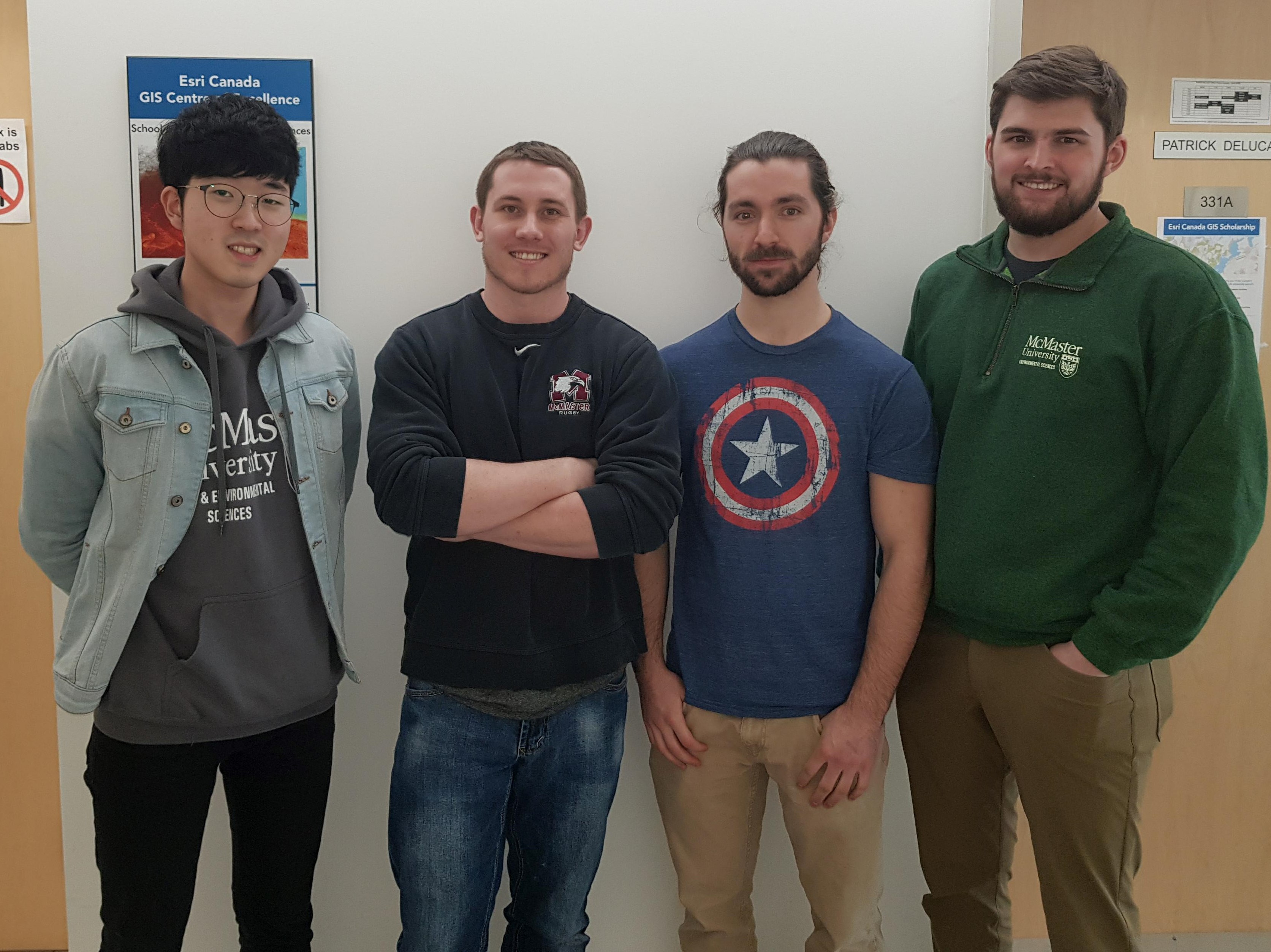
Jayden Choi: (left) I am currently enrolled in 4th year Earth and Environmental Sciences with a minor in GIS at McMaster University. With in-class knowledge and hands-on field experience in GIS, I took the opportunity to work on my thesis on “the impact of population on bike share hub usage”, under the supervision of Dr. Darren Scott. I found my interest in GIS & Spatial Analysis this past summer as I was assisting graduate students on SNAP, Stélida Naxos Archaeological Project, as a GIS/surveying intern. Upon completing my undergraduate studies, I plan to pursue a Master’s Degree in GIS, combined with social and natural sciences.
Sean Leipe: (middle-left) I'm a 5th year student in the Honours Earth and Environmental Science program at McMaster University, minoring in GIS. My main research interests at the moment are integrating traditional earth science work such as hydrogeology, geophysics, and geomorphology with GIS as I enjoy working in both fields and believe each can add value to the other. I will be starting my M.Sc at McMaster in the fall, which involves integrating hydrology and remotely sensed data such as Lidar and hyperspectral imagery.
Chandler Podhorodeski: (middle-right) I’m a 5th year Earth & Environmental Science student at McMaster university, minoring in GIS. Main academic interests include geophysics, structural geology, and mineralogy. In my freetime, I enjoy exploring Hamilton and Dundas as well as wood working in my garage.
Mark Borthwick: (right) I am a 4th year's Honours Environmental Science student at McMaster University, minoring in GIS and Earth Science. Through many years working outdoors I have deepened my appreciation and understanding of many aspects of the environment, hoping to pursue a career in GIS post graduation.