Esri Canada congratulates Water3D, the 1st Runner-Up of the App Challenge 2018!
App: Azure
Hosted on GitHub:
Mission statement
Sea level rise is a major global issue. On recent news published by the United Nations Framework Convention on Climate Change, the sea level rising rate is accelerating and it may increase by 65cm by the end of the century [1]. Scientists at the U.S. Geological Survey calculated that around 500 million people will be affected by the year 2100 around the world [2]. Two major drivers are cause this phenomenon, ice melting in polar regions and atmosphere warming. Both of them closely related with global warming.
Fortunately, not everything is bad news. Several international organizations and governments are currently working on strategies to prevent and mitigate the effects of sea level rise. More and more non-government organizations and citizen groups are engaging into decision making process and taking action on climate change. The citizen is now recognized as a key player who can positively contribute in many ways to mitigate climate change [3]. Over last years, we have seen plenty of examples on how the so called “citizen science” leverages geographic knowledge to support citizens in their initiatives [4].
For the ECCE 2018 Challenge, our team created an ArcGIS Web App called Azure. Its main goals are listed below:
- Provide geographic insights to citizens about the sea level rise issue due to climate change.
- Allow users to see two simultaneous 2D and 3D visualizations of how their urban environment might be affected by several scenarios of sea level rise.
- Offer querying capabilities to see if a specific address location is in a flood risk area will be affected, as well as the estimated number of people and economic losses per building.
(See full documentation below for references).
Video Presentation
Documentation
Team Members
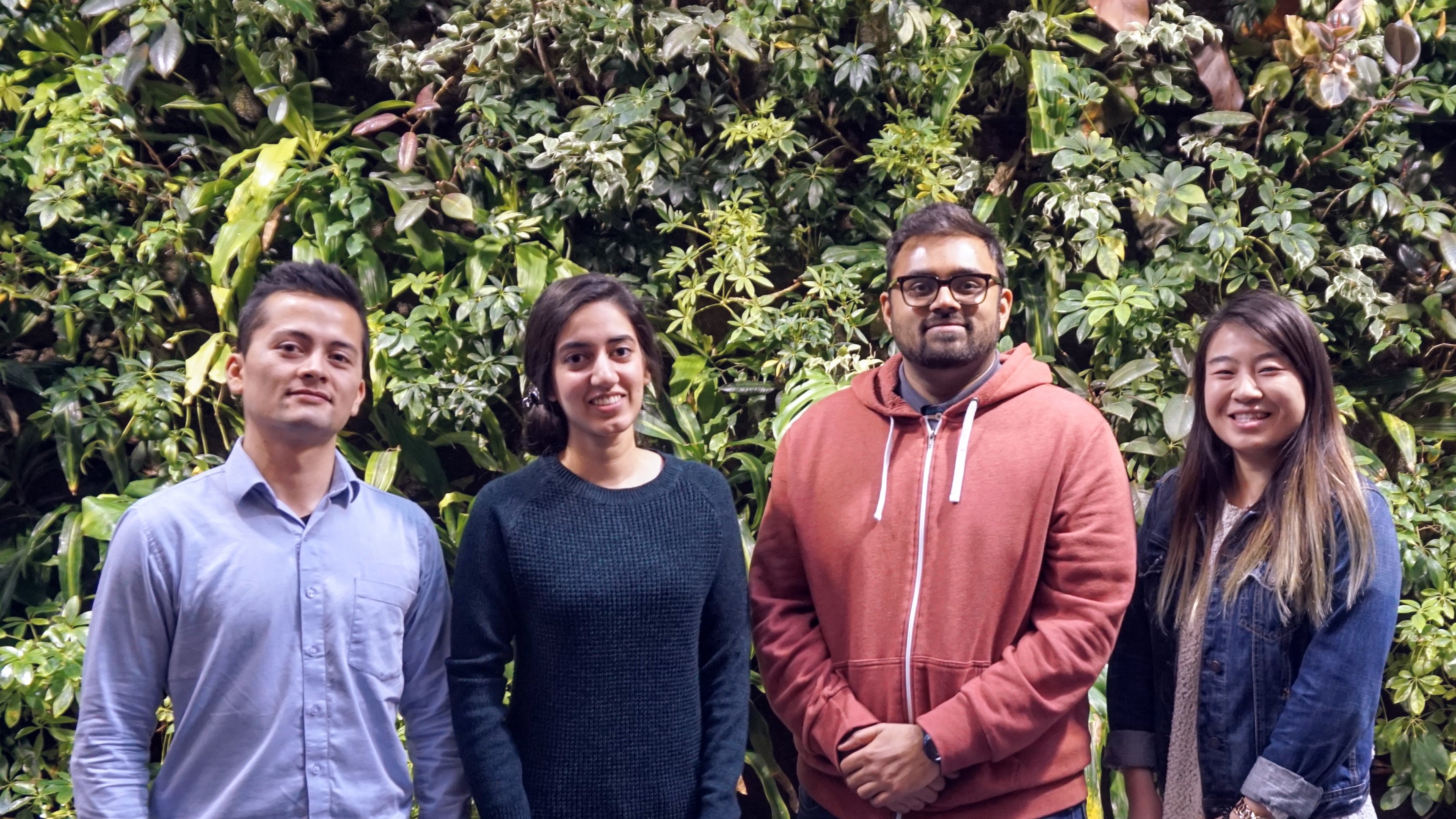
Juan Carrillo: (left) I am a geomatics engineer currently studying a Master of Science in Geography at the University of Waterloo. With more than five years of work experience in geomatics and project management, I am convinced about the key role of geographic information science and technology to help us mitigate climate change.
Anam Rahman: (middle-left) I am an Environment & Business student, pursuing the GIS Diploma at the University of Waterloo. My work in the insurance industry exposed me to flood risk management, and the need to adapt for climate change in cities. I love how web mapping tools can be used to educate and visualise highly impactful phenomena regarding climate change. I learnt a lot through this challenge and I'm excited to see how GIS can be used as a communication and decision making tool.
Jaydeep Mistry: (middle-right) I am a Masters of Environmental Studies student at the University of Waterloo. I did my Undergrad in Geomatics with Computer Science Minor. My education and experiences have made me very passionate about GIS, Open Data, Data Science, and app development. I've helped develop various apps, but the spatial apps such as this one have been the most exciting to work on.
Stephanie Wen: (right) Hi! I am in my 4th year of Geomatics at the University of Waterloo. I enjoy creating maps of places I've never been to. Creating bucket lists in that city, so that one day when I visit I can plan my trips, and accomplish them in the time allotted. I also enjoy sleeping, eating, instagramming, and snapchatting. If we get to go to San Diego I promise a blog of our experience!