App: UPWIND
Hosted in ArcGIS Online:
- Main app: https://mcmaster.maps.arcgis.com/apps/MapSeries/index.html?appid=6bed427422f5490eabfaa2593f224ff4
- Storymap overview: https://mcmaster.maps.arcgis.com/apps/Cascade/index.html?appid=a4210d0317a547eb8be5ba2f0611e141
Mission statement
Upwind aims to highlight the potential of rooftop wind power in improving the sustainability of urban power generation in Vancouver, British Columbia.
The accessibility of reliable and renewable energy is a key component in developing sustainable urban communities. To date, only 17.4% of the Canadian national energy supply is derived from renewable sources [1]. Despite wind power surging forward as one of the fastest growing energy sources worldwide, only 5% of electricity generation in Canada comes from wind. Between 2013 to 2017 the Canadian government invested $13.7 billion into the development of wind-powered energy generation [1]. One less-explored facet of wind power comes from small, rooftop-mounted turbines.
The city of Vancouver continues to grow and develop with, with $5.1 billion dollars of building permits issued in 2018 alone. Currently, a large portion of Vancouver’s energy stems from natural gas and hydropower. The city has set a target of achieving 100% renewable energy consumption by the year 2050 [2]. With a focus on generating clean energy to power their urban development, Vancouver is a potential site for urban wind power generation.
Vertical axis wind turbines (VAWTs) have been found to be advantageous to traditional horizontal axis turbines (HAWTs) in several aspects [3]. The design of vertical turbines compensates for some of the shortcomings found in traditional wind power technologies, as they can be placed very close to one another with minimal or no loss of efficiency [4]. Vertical turbines have also been shown to work better than their horizontal counterparts in sub-optimal wind climates, such as rooftops.
Video Presentation
Documentation
Team Members
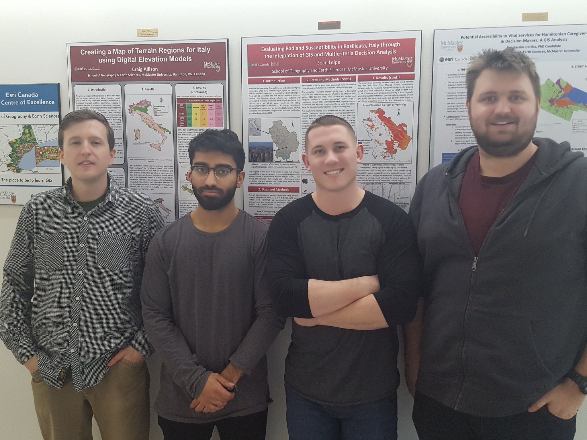
Sean Leipe: Sean (middle right) is a 1st year M.Sc student at McMaster University, in the Watershed Hydrology group. His research focuses on combining active and passive forms of remotely sensed data to classify and evaluate vegetation change in northern catchments.
Raj Ubhi: Raj (middle left)) is a 4th year B. Sc student at McMaster University with a minor in GIS. His undergraduate thesis looks at the arial analysis of growth faults in Utah using drone imaging.
Ed Taylor: Edward (left) is a 4th year B.Sc student at McMaster University, minoring in GIS. Ed has done undergraduate research on site suitability analysis, scripting multi-criteria decision making, and flood mapping with LiDAR.
Yorgan Pitt: Yorgan (right) is a 2nd year M.Sc student at McMaster University. His research focuses on using UAV data to map the distribution of archeological material in Naxos, Greece.