App: Vancouver CycleApp: Save the Earth, Ride a Bike
Hosted on GitHub:
- Main app: https://esricanada-ce.github.io/ecce-app-challenge-2019/StERaB/app/
- Carbon Emission Calculator: https://esricanada-ce.github.io/ecce-app-challenge-2019/StERaB/app/calculator.html
Hosted in ArcGIS Online:
Hosted on CodePen.io:
- Carbon Emission Calculator: https://codepen.io/matt-bond/full/ROrbOX
Mission statement
Our app places aim and focus on accessibility to put emphasis on the importance in accommodating outdoor recreation in sustainable communities. With the creation of this app, it is our goal to create an interactive software whereby local residents, visitors and tourists can gain information about public washroom and park accessibility. Users will be shown the most effective bike routes to navigate throughout Vancouver in order to reach their areas of interest, and parks which fit their needs.
Problem Addressed:
Current compact city strategies put additional pressure on green structure within the city (Koppen, Sang, & Tveit.2014). Urban parks not only moderate the temperature in the city, they are sites for recreational purposes and provides safe routes for different modes of transportation. It has been estimated that poor accessibility and lack of access to recreational areas accounts for around 3.3% of global deaths (WHO). Many studies have also shown that recreational spaces such as green space plays a pivotal role in population-level mental health (NCBI). Recent research has also further shown that the distance or proximity to a recreational landscape affects how people perceive their own health (Van den Berg et al., 2010). Urban parks have proven their value and importance as components of the urban infrastructure improving the quality of life. Urban parks offer ecological and social services to the population (recreation, leisure, better population health state), increase the economic, social and aesthetic value of urban ecosystems, offer the opportunity to reserve space for future town-plan projects and assist in conserving local biological diversity. The size of urban parks represents an important indicator for assessing the sustainability and competitiveness of urban ecosystems - their availability is an expression of the housing quality (Ioja et. al.2010). As previously stated, this application aims to bring together the growing importance of environmental sustainability with link to public accessibility as part of a sustainable urban system. Residents of lowincome communities are usually found to have lower physical activity, and this may be due partly to a disparity in access to parks and other recreation environments (Floyd, T & Whitt-Glover. 2009). This open data application is designed to be a contributing factor to reducing such disparities.
Video Presentation
Documentation
Team Members
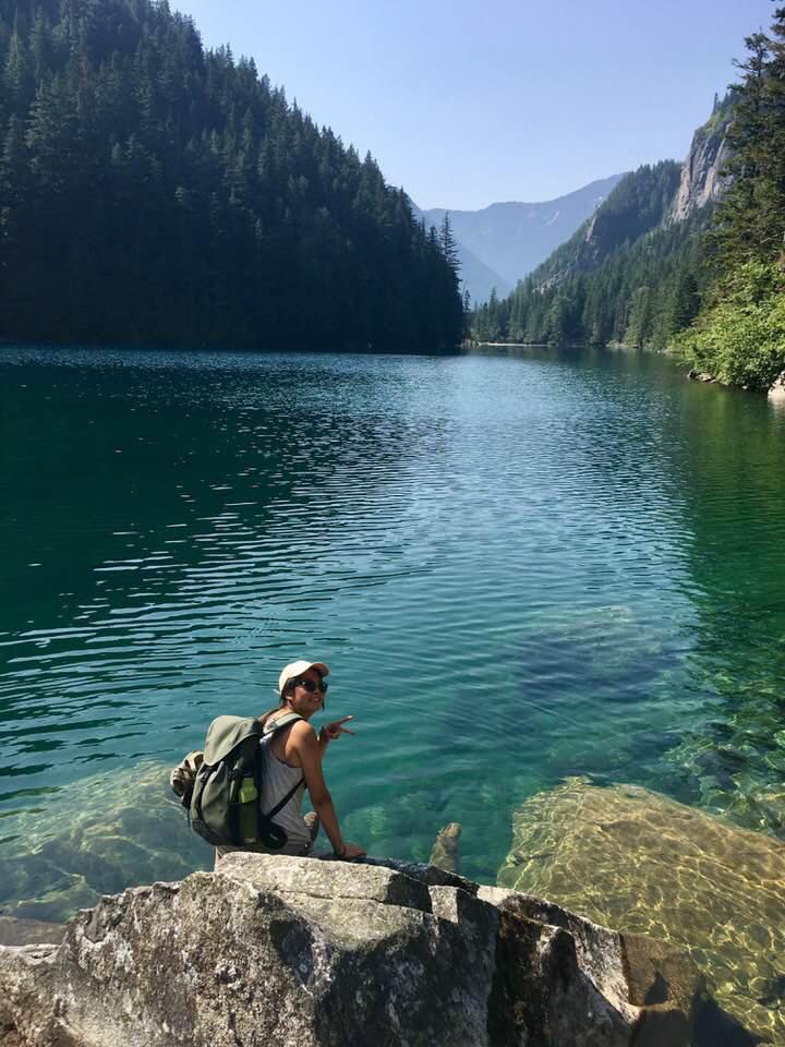 Sabrina Lee: Currently studying Environmental Science and majoring in the Earth Systems. What I want to do with GIS in the future is to combine GIS and environmental needs to help with city planning, park systems and make an impact on our current environmental progress.
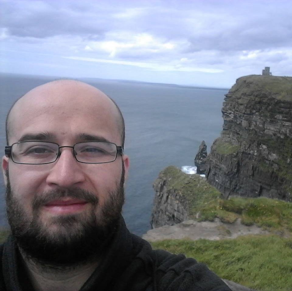 Matthew Bond: Human geography student at Simon Fraser University with a focus in Economic Geography and Urban Planning. I hope to work in the local government as a town planner post-graduation and help design the communities of tomorrow to be more sustainable and accessible for people of all social classes.
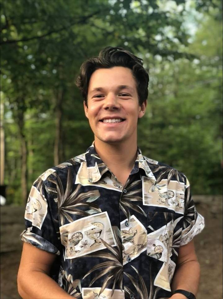 Alex Thrower: Currently studying Global Environmental Systems and Resource & Environment Management. Primarily interested in Natural Resource Management; Forestry and Fisheries as well as Natural Hazard Risk Management. It is my aim to blend my outdoor interests and passions with the GIS and natural resource research.
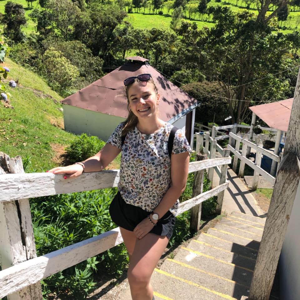 Maria Beskromnova: A Global Environmental Systems major at SFU also studying for the Spatial Information Systems certificate. She is interested in connecting GIS to help with risk management and mitigation for natural hazards.