App: AirTime
Hosted in ArcGIS Online:
- Main app: https://dalspatial.maps.arcgis.com/apps/MapSeries/index.html?appid=e3205194bfa84568a3e1e09ba1632f61
Hosted on GitHub:
- Data update routine (python script): https://github.com/EsriCanada-CE/ecce-app-challenge-2020/blob/master/Error-9999/src/error9999.py
Mission statement
AirTime is an application focused on environmental determinants of health, connecting real-time air pollution data with the general public and industry leaders, allowing people to make informed decisions regarding their health.
Background
As the threat from fossil fuel combustion and environmental pollution increases, and cities continue to densify, air quality is a growing concern for Canadians (Jacobson, 2008). With the increasing health concerns from air pollution and an aging population estimated to cause 7700 premature deaths in Canada and costing 36 Billion dollars, providing warnings to the citizens is a priority (Rabson, 2017). Among Canadian cities, Halifax was ranked 9th on the list of worst overall air quality scores (Dimon, 2019). As the climate crisis continues, the threat of summer forest fire smoke-induced smog and heat wave-induced ground ozone spikes threatens air quality across the Maritimes (Jacobson, 2008). Increased air pollution carries an increased risk of heart disease, stroke, lung cancer, and respiratory distress such as asthma (WHO, 2018).
Social Impact
AirTime provides simple and straightforward access to air quality data for the general public. Enabling those who are vulnerable to poor air quality or institutions concerned with health such as schools, hospitals, and eldercare facilities, to easily understand when there is a health risk. Medically, this allows those who suffer from low air quality to modify their exposure based on real-time data from their area and potentially drastically improve their quality of life. Economically, the personal and governmental costs associated with the treatment of air quality-related health problems reduce when people have the information available to self-select their level of exposure to pollutants.
Video Presentation
Documentation
Team Members
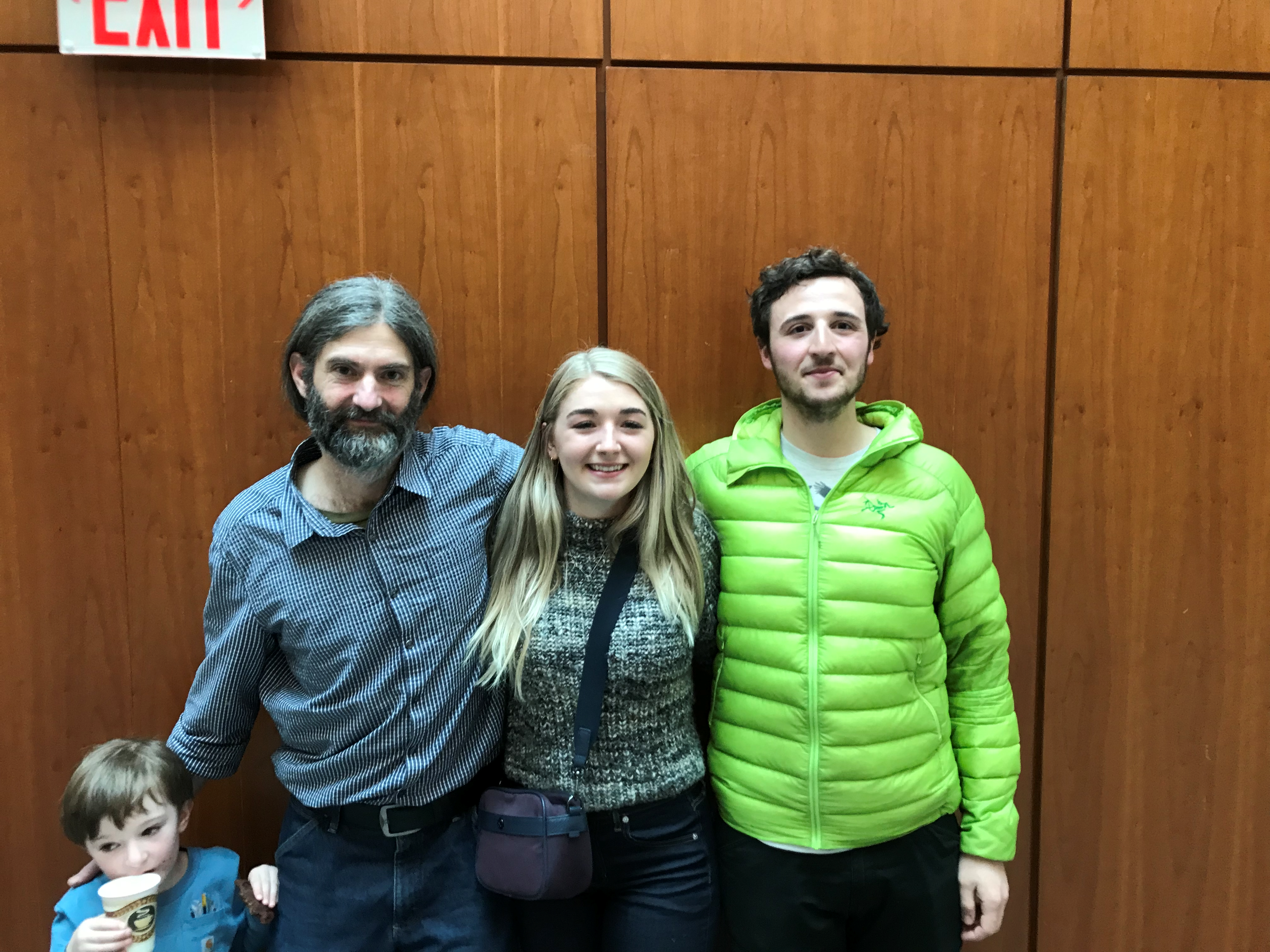
Nathan Slater: (right) Nathan has always had a passion for cultivating and developing community. He has spent the greater part of the last eight years working in the outdoor industry as a wilderness leadership instructor, and the last two winters in Halifax completing a bachelor’s degree in Community Design and certificate in Geographic Information Science (GIS). As a certified sea kayak guide, lake canoe instructor, and hike leader, he has spent many hours meticulously looking over maps and charts obsessing over scale, projection, and symbology. This Is the roundabout way in which Nathan entered the world of landform mapping; and later GIS. Since then, he’s been hooked on learning all he can about the methods and applications of spatial statistics and remote sensing. Applications of spatial data in storytelling and impact analysis are Nathan’s main GIS interests. With what little free time he has, Nathan is furiously exploring the rivers, lakes, ocean, and mountains of Nova Scotia and British Columbia.
Leah Fulton: (middle) Leah is a fourth-year Bachelor of Community Design, Honours in Urban Design and Planning at Dalhousie University. During her time at Dalhousie University, Leah has had the opportunity to represent Esri Canada as an ECCE Student Associate throughout the last two years. Her skills in GIS analysis and application have enabled her to help solve real-world problems alongside government and university professionals. As a future planner, Leah hopes to use her skills in GIS and social planning research to extend her geographic lens and help those feeling the pressure to live with a focus on Canadian rural and arctic communities. Furthermore, she hopes to advance practice in sustainable economic development for communities with specialized industries. In her spare time, she loves running and cuddling with her dog, Chloe.
Charles Williams: (left) Charles recently returned to University after 20 years working in the field as a Permaculture designer and land manager. Presently he is attending Dalhousie University dual majoring in Environment, Sustainability and Society (ESS) and a Bachelor of Community Design (BCD) with a focus on applied GI Science. As a lifelong environmentalist and deeply spiritual person Charles is dedicated to connecting people to the natural world. He worries about the growing gap between humans and the environment and looks to use GIS tools to help build bridges between the digital generation and this amazing planet we live on. Outside of school Charles spends most of his time playing with his 4 year old son or teaching permaculture and regenerative land management with Earth Activist Training and the Deanery Project.