Esri Canada congratulates EqualHex, the 1st Runner-Up of the App Challenge 2021!
App: INcreaseEquality
Hosted in ArcGIS Online:
-
Main app: https://experience.arcgis.com/experience/31ff11c11bbf4d1fb959b46884889f9a
-
Making-of app: https://experience.arcgis.com/experience/adf4eed8b9284d16aba3483f33880016
Mission statement
Inequality has been on the rise all around the world for decades. In 2015, the United Nations announced 17 goals for sustainable development, among which Goal 10 aimed to reduce inequality within and among countries [1]. Generally, inequality exists among income, health, education, regions, well-being, and more.
In Canada, over 80% of the population lives in urban areas, including Toronto, Montreal, Vancouver, and Calgary. The high degree of urbanization triggers rising inequality in our cities. Over the last two decades, the provinces of Alberta, British Columbia, Ontario, and Quebec, have been showing a high Gini index, which stands for a high level of inequality [2]. Specifically, reported by the Chartered Professional Accountants of Canada in 2017, Toronto, Montreal, Vancouver, Calgary, and Ottawa-Gatineau, were listed as the top four Census Metropolitan Areas with a high Gini index over the years [3].
Our app, INcreaseEquality, focuses on mapping the inequality in the city of Calgary. With the app, users can explore the distribution of gender, age groups, income levels, and immigration types within the city, and compare them with distances to public facilities such as schools, libraries, art, playground equipment, and recreation facilities. The data was put into a Discrete Global Grid System (DGGS), which makes the data ready for analysis at different resolution levels. Based on the mapped patterns observed and the statistical analysis, decisions related to urban design can be made to help INcreasing the Equality in the city of Calgary and aim for a better future.
Video Presentation
Documentation
Team Members
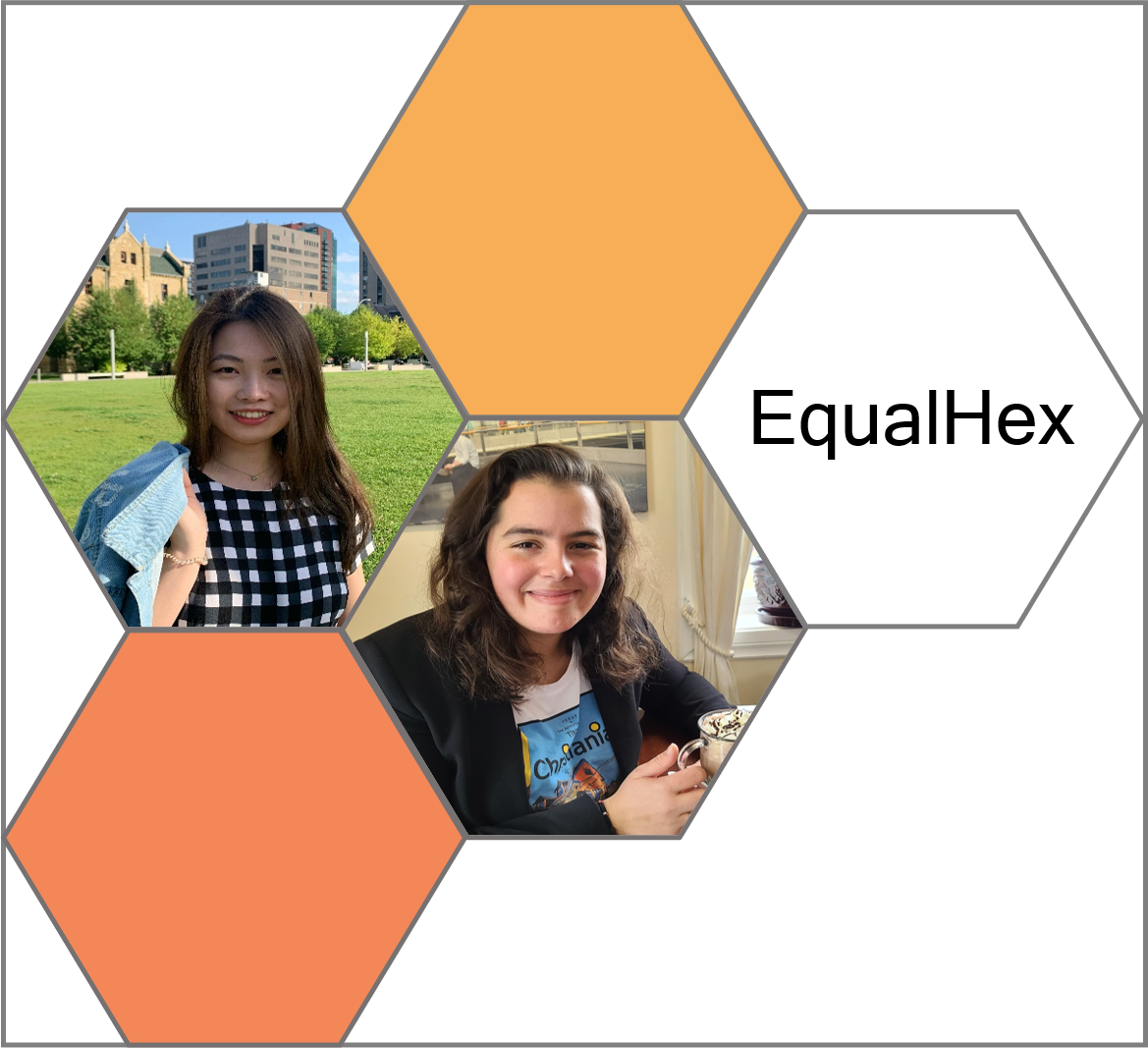
Erin Li: Erin (left) is a second-year PhD student in the Department of Geomatics Engineering at the University of Calgary. She received her MSc in Forestry from the University of New Brunswick where she worked on the spatial analysis applied to the field of forest ecology. Her current research interests are in the usability of Discrete Global Grid Systems, especially in the digital terrain data management and geospatial operation development in Discrete Global Grids.
Marta Padilla Ruiz: Marta (right) is a first-year PhD student in Geomatics Engineering at the University of Calgary. She is also a Cloud Developer at Teledyne CARIS, an ocean mapping software company. She was a member of the Ocean Mapping Group at the University of New Brunswick, where she obtained her MScEng in Geodesy and Geomatics Engineering. Prior to coming to Canada, she completed a bachelor’s degree in Geomatics Engineering at the University of Jaen, and a MScEng in Topography and Geodesic Engineering at the Polytechnic University of Madrid. Her research interests are in the qualities and advantages of DGGS applied to marine geospatial data. Her professional expertise lies in Web and Cloud development, aiming to develop the new generation of Geomatics applications combining her programming and geospatial skills.