App: FindMe
Project website:
Hosted in ArcGIS Online:
- Experience Builder app: https://experience.arcgis.com/experience/9e43c798ff634ea88109f2b8630fe0e8/
- Web AppBuilder app (data viewer): https://www.arcgis.com/apps/webappviewer/index.html?id=3572453f2c24466cb06a14578430f200
Mission Statement
The three digits telephone number ‘911’ has been designated as a nationwide number that provides the public a fast and easy access to reach for emergency assistance. It is designed to handle a fair amount of calls at a given time, but is limited to the number of agents at the call centers. During an event of natural disaster, this communication network could be overwhelmed and congested. This telephone number would immediately pop up in the heads of people with concerns or in danger. At times like these, it is crucial that urgent emergencies receive priority attention. We understand that people could be desperate in finding out whether they are safe or who they could reach for help during natural disasters, therefore, we created the web, tablet and mobile application FindMe that allows people with concerns and/or suffering from less life-threatening situations to report their physical conditions and look-up emergency services locations, as well as real-time evacuation orders and alerts issued by the EmergencyInfoBC. We hope that FindMe could help alleviate the tension at the 911 call center and provide the public with crucial information about situations of the event. It could also save time for authorities, emergency service personnels and other first responders to locate these victims and reduce the time needed to search for them.
Video Presentation
Documentation
Team Members
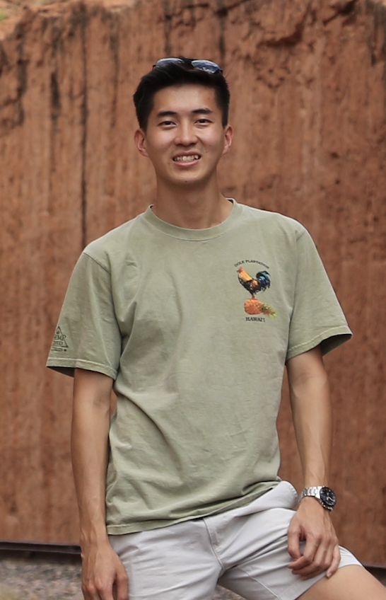 Ryan Cheung: Ryan is a full-time student in the GIS advanced diploma program at the British Columbia Institute of Technology, Canada. He graduated at the University of Washington, Seattle with a B.A. in Geography in 2020. Ryan met his tutor in college who led him into the GIS field, since then he has enjoyed every part of it, he is especially interested in urban and transportation planning. He hopes to gain real world experiences and help people understand geographic context, patterns and relationships through this app challenge.
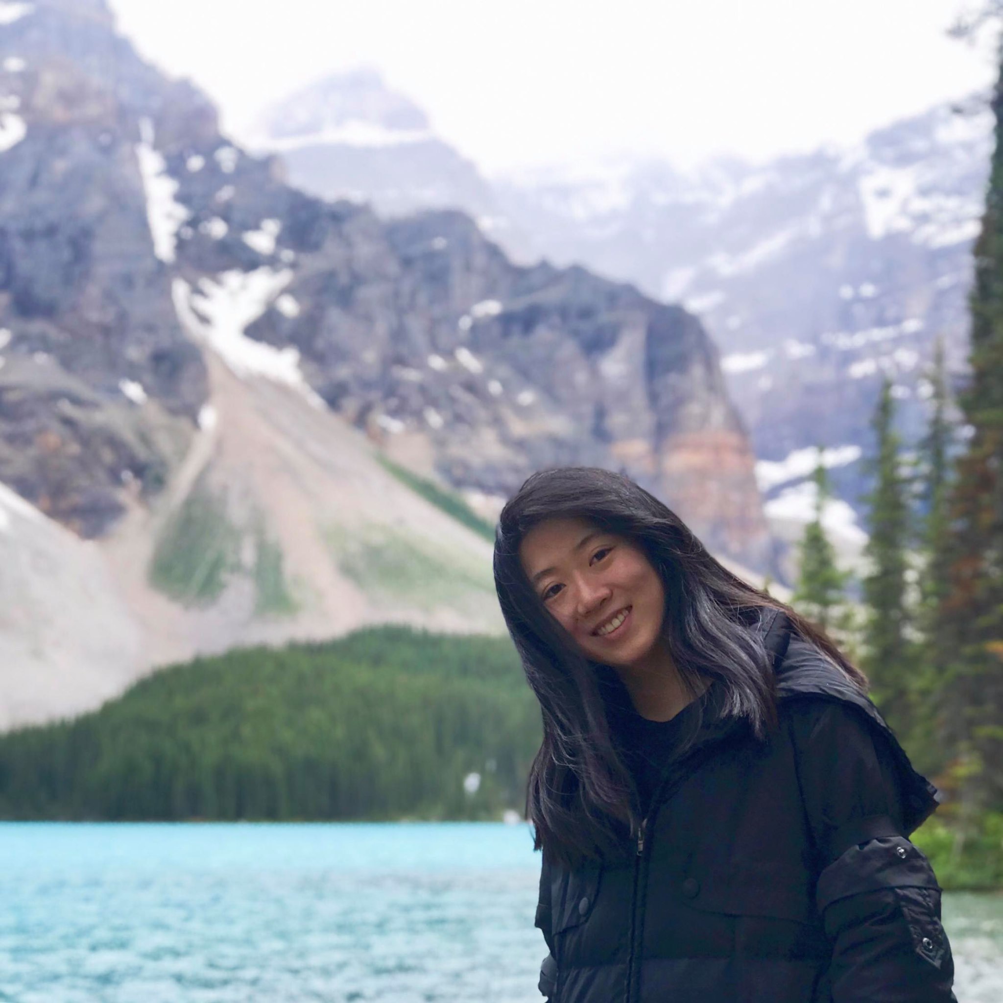 Ruimeng Pang: Ruimeng is a current student of the BCIT advanced diploma in GIS program. Her interests in GIS are transportation, natural resources and forestry. She graduated from UBC Forestry with a Bachelor degree of Science in Natural Resources Conservation in 2018. During school, she joined the invasive species mapping crew of Stanley Park as a crew member to help collect GIS data of invasive species in Stanley Park. This was the first time she came into contact with GIS. She really looks forward to creating her own ESRI app with her GIS knowledge at the contest and seeing other people's interesting ideas.