App: Wildfire Locator
Hosted in ArcGIS Online:
- StoryMap: https://storymaps.arcgis.com/stories/97c9053e3c024e7dbaef797548a8722a
- Instant App: https://www.arcgis.com/apps/instant/nearby/index.html?appid=2c8031583885401e8031a42640283c23
- Dashboard: https://www.arcgis.com/apps/dashboards/f150bce2beb44322b6ff0b060167218b
Mission Statement
As wildfires become more frequent, solutions must be developed to mitigate social, environmental, economic, and humanitarian losses. This application serves as a monitoring system for vulnerable communities in danger of ongoing wildfires.
Introduction
Around 5pm, during a late-June evening in 2021, residents of Lytton, British Columbia and the surrounding areas could smell the smoke of an approaching wildfire. Locals were already recovering from a number of record-hot days, the town having lived the highest-temperature ever recorded in Canadian history (49.6 °C) just days earlier. What came next, would again put the small town of 250 people in the national headlines. The scorching temperatures and drought conditions, combined with high winds bred perfect ground for a wildfire which spread quickly through the Fraser Canyon. When residents returned days later, they found 90% of Lytton gone. Nearby First Nation bands such as Lytton First Nation, Skuppah, Nicomen and Siska had the majority of their populations displaced.
Canadians and indigenous peoples throughout the country are increasingly at risk of exposure to wildfires. A recent study published in the Canadian Journal of Forest Research has estimated that about 4.1 million people — equal to 12.3% of the Canadian population lives within the wildland-urban interface, areas where housing and forest structures at-risk of wildfires meet. While it is more commonly accepted that climate change is one of the driving factors of this increased risk, recent studies have also shown that human settlement patterns and demographics have significant effects on the vulnerability of certain populations. While on-reserve indigenous populations make up for only 1.1% of the ‘Canadian’ population, wildfire risk among these communities is closer to 33% for this population. The data highlights one of the many disparities between indigenous people and settler-colonial populations when it comes to issues relating to housing, emergency services.
The outpaced warming temperature in the Arctic, in particular, puts the greatest pressures on many indigenous communities.
Video Presentation
Documentation
Team Members
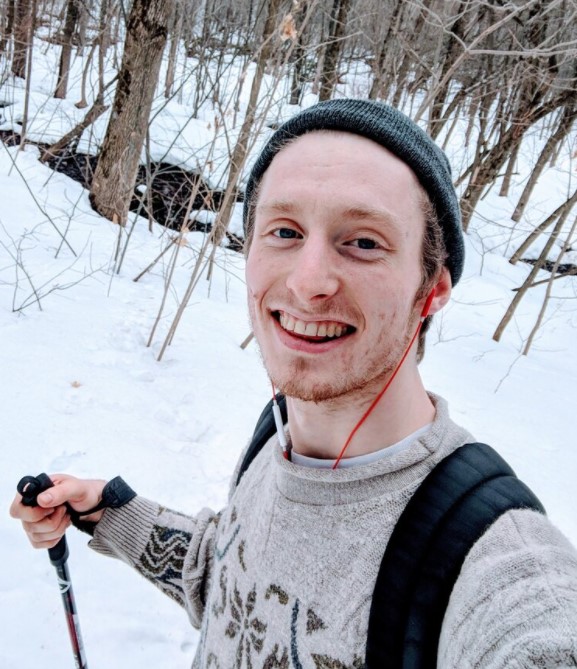
 Olivier Makuch: My name is Olivier Makuch and I am a geospatial enthusiast! During my Undergraduate in Environmental Science (BSc), I developed a particular interest in the intersection of Plant Ecology, Programming for Geospatial Technologies and Remote Sensing. I am now currently at COGS, in the Remote Sensing Graduate Certificate program, to pursue my understanding of this intersection and continue to learn about geospatial technologies and applications. I am excited to participate in the App Challenge 2022 for the opportunity to both learn more about Esri products, and further develop my collaborative skills in short term projects.
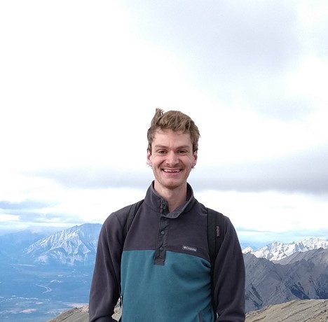 Michael Hann: My name is Mike/Michael Hann and I am passionate about applying remote sensing solutions to enhance industrial workflows. My main interests lie in agriculture, robotics, and resource management.
I am participating in this challenge to:
- use our combined expertise to provide a good, usable product
- obtain more experience working within the wide Esri ecosystem
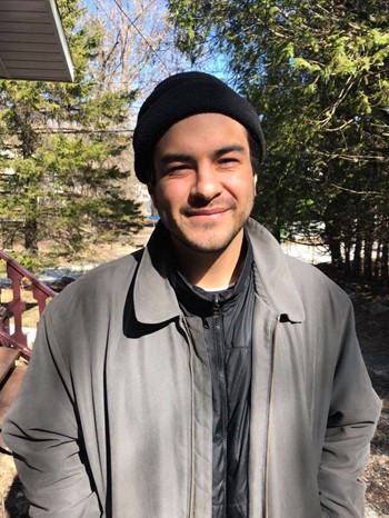
 Becket Osterland: Becket is a graduate student with a strong interest in studying the effects of climate change on the natural and human environments through mapping techniques. His passion runs deep for all things GIS and cartographic, and enjoys the scientific, computing, and artistic aspects that collide when making informative and visually stunning graphics. Beck graduated in 2020 from the Concordia Department of Geography, Planning and the Environment, with a BA in Human Environment and a minor in Geospatial Technologies. He is currently completing a Graduate Certificate in Remote Sensing at the Centre of Geographic Sciences in Lawrencetown, Nova Scotia.