App: ResponsePlan
Hosted in ArcGIS Online:
Mission Statement
Sometimes, being prepared for an emergency is as simple as knowing what’s around you. If you’re at home during a natural disaster, you likely know of nearby places to find help, seek shelter, and stay safe. But what if you’re not at home when disaster strikes? How will you find the nearby Police or Fire stations? How can you stay informed of local hazards, or people offering help nearby? What if you’d like to report a hazard, or want to offer aid to your community? How can this information be conveyed to people in a spatial context? And how can you, and others, access it?
The ResponsePlan app seeks to answer these questions. ResponsePlan is a surveying, archiving, and route-finding software that allows you to stay informed of nearby hazards, local/government infrastructure, and private citizens that are personally offering aid. In addition, it allows you to place map pins to identify nearby dangers or broadcast your location to other users if you want to offer food, water, or other forms of assistance.
We believe having ResponsePlan installed on your device can help prepare you for any disaster scenario. The ability to spatially visualize hazards as they’re updated in real-time, plot navigation routes to hospitals, places of refuge, or locally offered aid, and inform others of potential dangers or your support is an invaluable framework for information flow and is one that can only truly be established before disaster strikes. The data provided by this application can be used for both civilian and government decision-making, with the former gaining easy access to literature that can increase survival odds in disaster scenarios. Finally, using ResponsePlan has the potential to keep you and others informed while also directing traffic away from services like Google Maps or Emergency service lines, so those who are less prepared may find easier access to these services.
Video Presentation
Documentation
Team Members
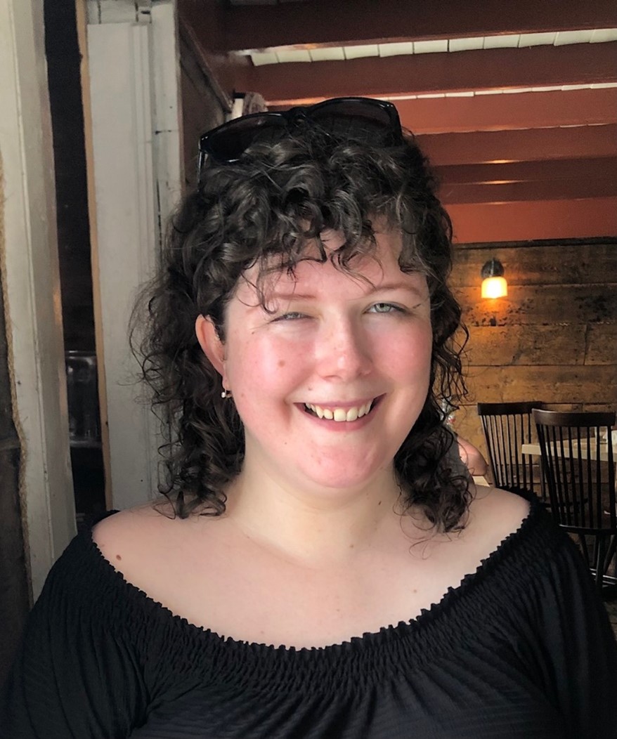
 Laura Sinclair: Laura is currently a student in the one-year Advanced GIS Certificate Program at COGS. Her background is in geology, and she has a Masters in Geology from University College Dublin and a Bachelor in Earth Sciences from Memorial University. Her interests in GIS are related to geology, oceanography, and environmental sciences. She hopes to be able to incorporate some of her interest into this year’s challenge theme. Her hobbies include baking and swimming.
 Aila Jalo: I am currently a student in the Remote Sensing program at the Centre of Geographic Sciences in Lawrencetown, Nova Scotia. I did my undergraduate degree in Geography at the University of Guelph, where I really enjoyed all the GIS courses. Outside of school I enjoy cooking, photography and watching the Toronto Raptors.
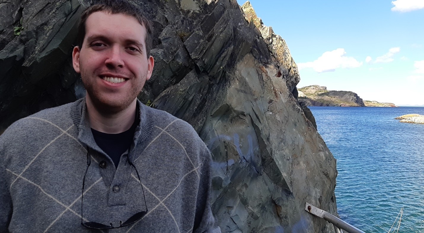
 Connor Dalzell: Connor is an MSc. Applied Science Graduate with a background in Geology/Biology. Currently is enrolled in the Advanced GIS Certificate program at COGS. Areas of interest include Earth science, GIS/mapping, working with big data, and multivariate analysis. Excited to apply new GIS skills and previous experience to this technical/innovative challenge!