App: Flood Ready Nova Scotia
Hosted in ArcGIS Online:
- Experience Builder app: https://experience.arcgis.com/experience/8e758f9d5d184168bbb0120b63577d5e/
- Project Storymap: https://storymaps.arcgis.com/stories/53b96d87951e4004a77500dd1568935f
Mission Statement
Flooding occurs when a body of water takes on more volume than what it typically confines, leading to the excess being redirected over the surrounding landscape. In Nova Scotia, flooding typically occurs after extreme precipitation events, melting of snow pack, river ice jams, tidal events, and storm surge brought on by meteorological events. While flooding is a natural phenomenon in Nova Scotia, flooding becomes an issue when it damages property, infrastructure, or negatively impacts human lives.
Floods are the most commonly occurring natural disaster in Canada and pose a threat to critical infrastructure, properties, and in extreme cases, can even put lives at risk (PSC, 2021). Nova Scotia is vulnerable to both inland and coastal flooding events, both of which are increasing in frequency and severity as a result of climate change (Warren & Lemmen, 2014). Sea level rise will further exacerbate effects on coastal communities, which comprise 70% of Nova Scotia’s population (Fisheries and Aquaculture, 2009).
Our Goal
The goal of the Spatial Cluster Application is to inform its viewers of issues surrounding flood disasters within the province of Nova Scotia. The application provides details surrounding historic events, the associated risks involved with floods, elements to assist in flood prediction, and finally, provides the user with important information on how to prepare in the case of emergency and what to do in the aftermath of a flood.
Video Presentation
Documentation
Team Members
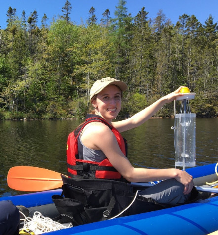
 Casey Doucet: I am a second-year master’s student in the Applied Science in Environmental Engineering program at Dalhousie University. My research aims to identify factors that may be contributing to water quality changes in Halifax-area lakes. I also belong to the Aquatic Systems Professional and Industrial training for the Restoration Economy (ASPIRE) program at Dalhousie. Prior to my graduate studies, I completed my BSc with Honours in Environmental Science at Mount Allison University, where I also worked as a research technician in the Environmental Change and Aquatic Biomonitoring (ECAB) Lab and contributed to microfiber and microplastic research.
 Caitlin Cunningham: I am in the Interdisciplinary PhD program at Dalhousie University who studies how cities could be better designed to support wildlife and meet biodiversity conservation goals. Originally, I was introduced to GIS because someone was offering free pizza as a part of a one day crash course. Over 10 years later, I'm still hooked, using GIS in both educational and professional settings, though I still won't say no to free pizza.
 Nicolas Beauchamp: I am in my 5th year at Dalhousie University studying both Earth Science and ESS (Environment, Sustainability, and Society). My current academic goals include completing my undergraduate degree with Dalhousie’s certificate in GIS, and am planning out my route towards a Masters. When not studying, I am on nature walks or browsing through local record shops.