App: MetroSafe
Hosted in ArcGIS Online:
- ArcGIS Hub website: https://metrosafe-mcmaster.hub.arcgis.com/
- Web AppBuilder app: https://www.apps/webappviewer/index.html?id=436eab5a31954ccb83828008035a2d32
Hosted on GitHub:
Mission Statement
MetroSafe is a risk-monitoring app for natural disasters in the GTHA which provides users with an in-depth analysis of the hazards that affect the transportation infrastructure system. This application identifies potential risks and corresponding regions that are most vulnerable to natural disasters and hazards. This tool is a function for the general public, government organizations, and planners to monitor the susceptibility of different regions and ensure resource allocation to protect high-risk infrastructure. MetroSafe contributes toward long-term efficiency by reducing both financial and time-related costs. MetroSafe provides a platform to raise awareness about the various natural disasters impacting the GTHA and helps to educate the key personnel who may use this information to devise solutions to the threats.
With the use of various data visualization tools, important trends across a given region can be better understood. This information is useful for organizations like Metrolinx to identify future expansion opportunities for transportation infrastructure which identifies the regions facing a lower risk from natural disasters. Combining statistical data with mapping tools, offers opportunity for meaningful statistical analysis. Users can input additional data layers and variables into the app to support their analysis. This promotes research and ensures the application is applicable for a wide range of purposes. The interactive nature of the application allows greater flexibility and control for the user to modify their analysis to their specific needs.
MetroSafe has been designed as a long-term solution to efficiently manage and monitor transportation infrastructure. This includes measuring the effectiveness of policies and decisions and ensuring there is a common reporting platform.
With a rapidly growing population and an increasing threat of natural disasters, MetroSafe helps ensure a stable and safer future for Ontarians.
Video Presentation
Documentation
Team Members
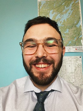
 Pierce Bourgeois: I am a fourth year Bachelor of Arts student studying at McMaster, where my focus has been GIS applications within an urban setting. Naturally I am pursuing the GIS certificate through the School of Earth, Environment & Society. The ECCE App Challenge has given me a great opportunity to test out some of my skills, learn new ones and have fun along the way (plus maybe win a prize). Ever since I was a kid, I have been both blown away and mesmerized by the power of maps and they never cease to amaze me! Aside from maps, I do enjoy kayaking, rugby and making diabetes an easier disease to live with.
 Sameer Haqqi: I am a 4th-year student in the Honours Economics Program, and I am also completing a Geographic Information Systems (GIS) Certificate. I have a keen interest in analytics where I am driven by the endless opportunities for innovation and applying critical thinking in solving real-world problems. I believe when data is effectively managed, it tells us a story allowing us to make data-driven decisions. In my free time, I enjoy hiking, working out at the gym and playing guitar!
 Grace Soo Ah Kim: I am a fourth year Honours Earth and Environmental Science student at McMaster University. I was introduced to GIS in my second year of my undergraduate program and was interested in its application and theory ever since! Now, I am pursuing a minor in GIS and writing my undergraduate thesis using GIS-based software, such as ArcGIS Pro and TransCAD. Outside of school, I love to play the piano, game with my friends, and collect board games!