App: NERP’D: Nuclear Emergency Response Preparation Durham
Hosted on GitHub:
Mission Statement
Durham Region is home to two nuclear generating stations which generate over 30% of Ontario’s electricity: Darlington Nuclear Generating Station and Pickering Nuclear Generating Station (1). There are over 280,000 people who live within a 10-kilometer radius of the nuclear power generating stations and may be affected by radiation exposure during a nuclear reactor accident (2). As a result, a lot of importance is placed on ensuring that the health, safety, and welfare of citizens within the Durham Region are safeguarded in the event of a nuclear emergency.
A nuclear emergency is an emergency that leads to the release of radioactive material, causing exposure to uncontrolled radiation, which can place the health and safety of people at risk (3). This radiation exposure, depending on the dosage, can cause both short-term and long-term health effects, such as skin burns or an increased risk of cancer. In addition to the health effects of radiation exposure, nuclear emergencies can cause detrimental effects on an individual’s mental and emotional wellbeing by inducing negative emotions such as fear, anxiety, and hopelessness (4). These feelings contribute to increased mental distress, which can lead to behavioural, emotional, and physiological issues. To minimize the severity of these issues in the event of a nuclear emergency, it is important to prioritize the development of emergency preparedness so that responses to nuclear emergencies are swift and efficient. However, few of the public are clear on how they should prepare and what actions they should take in case of a nuclear emergency (5).
Because of this, our app aims to provide the general public with information on their distance to relevant resources they might require during a nuclear emergency, including paramedic services, healthcare facilities, public gathering facilities, major roads, and highways. This information also helps policymakers improve their community’s resilience against emergencies by informing them of areas that lack this critical infrastructure and thus require prioritization for development. We hope that our app serves as a clear and easily accessible educational tool for the use of both citizens and decisionmakers. Through thorough preparation and planning, communities can become resilient against emergencies.
Video Presentation
Documentation
Team Members
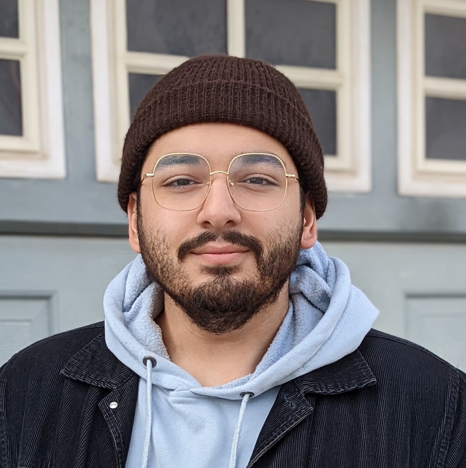 Syed Hammad Uddin: I am a fourth year Geography and Environmental Sciences student certificated in GIS and Urban Planning, graduating next month. I am interested in the municipal asset side of GIS and the role of spatial analysis in the future of our cities. My hobbies include spending my weekends watching F1, reading, and experimenting with food in the kitchen.
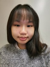 Jenny Chau: I’m a third year student in Integrated Science specializing in Earth and Environmental Sciences. I’m interested in the use of GIS and remote sensing for natural resource management and climate change mitigation. I enjoy reading, photography, and playing musical instruments.
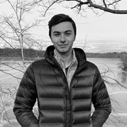 Jonathan Spence: I am a fourth year student in Integrated Science, concentrating in Earth and Environmental Sciences, and minoring in GIS. I am interested in the geological and ecological side of GIS/remote sensing, and how it can be used to monitor and mitigate climate change. When not working I enjoy water polo, mountain biking and kayaking, as well as cooking.