App: MusCALar
Hosted in ArcGIS Online:
- ArcGIS Hub website: https://muscalar-ucalgary.hub.arcgis.com/
- Web AppBuilder app: https://www.arcgis.com/apps/webappviewer/index.html?id=e79a08a71fa745f88b2564ecc10d8c19
Mission Statement
In Canada, there has been an increase in losses caused by natural disasters from the past 25 years. The Insurance Bureau of Canada estimated the total insured losses in the event of natural disaster had reached 3 billion in 2016, while the loss was only around 50 million in 2000. Seven out of ten costliest disasters are recorded in Alberta. Wildfire is the one of the most common disasters in Canada. The costliest disaster, Fort McMurray wildfire in 2016, has an estimated loss of 3.82 billion.
MusCALar intends to provide general public with a general understanding of the locations of wildfire happened in Alberta. We also assess the proximity to wildfire from populated region. This helps local residents to be aware of the risk of experiencing wildfire in the future.
Video Presentation
Documentation
Team Members
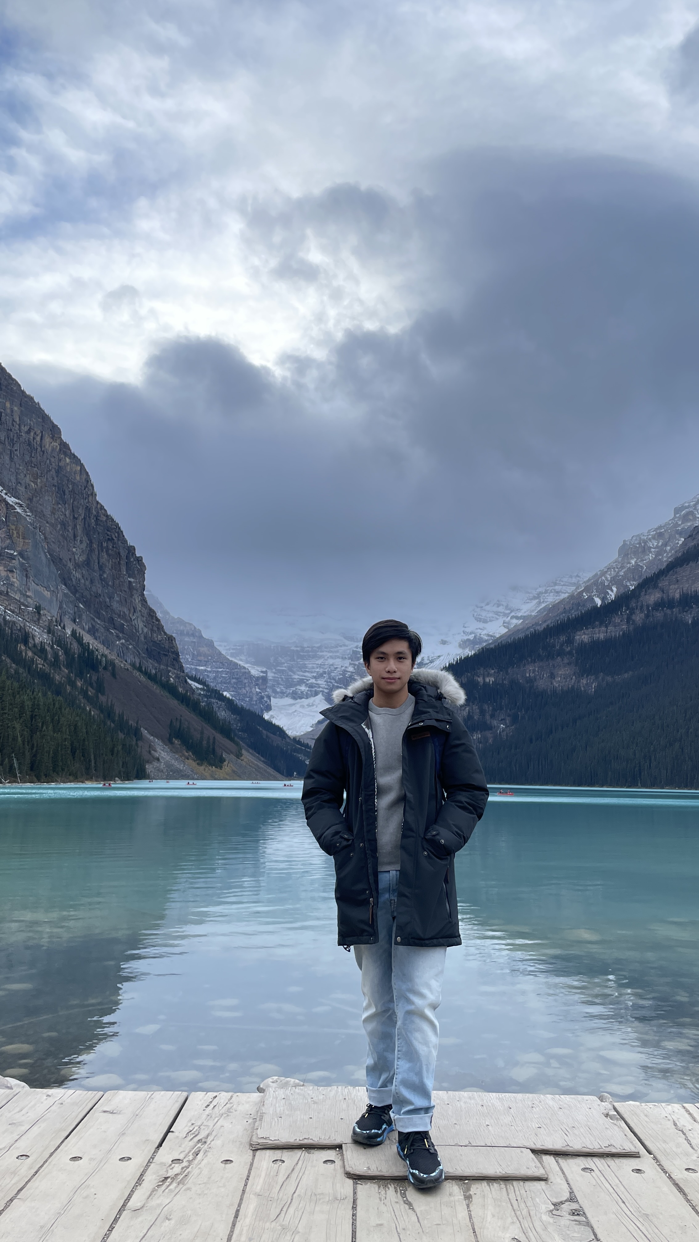
 Chun Wai Wong (Kenny): Hi everyone! I am studying Master of Geographic Information Systems (MGIS) at the University of Calgary. I have worked in the field of soil science and environmental remediation as a research assistant in Hong Kong. This led me pursue GIS to support my future research and more complex analyses. My hobbies include playing badminton, hiking, and cooking.
 Hing Wa Ma (Henry): A 3rd year undergraduate with a major in geomatics engineering. Being an exchange student from the Hong Kong Polytechnic University.
 Lai Sze Cheung (Cherry): Hi my friends! I am studying Land Surveying and Geo-Informatics as a third-year student. GIS is fun and interesting so I would like to pursue my career to be GIS related.