App: Medway Creek Water Level
Hosted on GitHub:
Hosted in ArcGIS Online:
Mission Statement
The main goal of our app is to demonstrate the impacts to the community surrounding Medway Creek in London, Ontario that would result from a severe weather event causing significant flooding to the river. While these flooding scenarios are very unlikely, being aware of the potential flood impacts in an extreme scenario is an important part of emergency preparedness. The app allows a user to select from different water level rise scenarios, and the app will display the area that would be covered by water on a map, as well as how much area would be covered in water and the number of properties that would be impacted in each scenario. With water rise levels ranging from 4.5 metres to 10 metres, the app shows a range of extreme scenarios. Hurricane Hazel in the Toronto area in 1954 caused river water levels to rise about 6 to 8 metres in some cases, so our app only demonstrates very unusual circumstances. This is a very rare case, but with climate change having an effect on future weather patterns, it is important to be aware of these extreme cases as they may become more likely to occur in the future.
Video Presentation
Documentation
Team Members
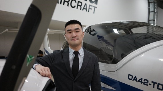 Karlos Lao: I'm in my 4th year of Honour Specialization in Geography and Commercial Aviation Management, this is my first time in the App Challenge, and I'm exciting to find out how me and my team can come together to solve a real-world issue! My interest's area in GIS is related to remote sensing, LiDAR technology, and spatial analysis of urban climate heat patterns. In the near future, I'm hoping to explore the possibilities of incorporating GIS technology into aviation operations and flight planning.
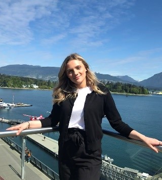 Caitlyn North: I am currently in my last year at Western University studying Geography. This is my second year as a part of the ECCE team and second time participating in the app challenge. I love to use GIS to solve real world problems so this app challenge is right up my alley. I'm excited to see what all the teams come up with!
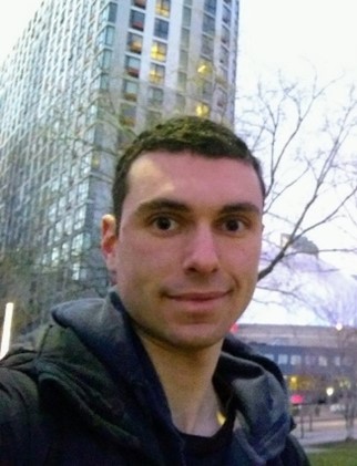 Ben Klar: I am a second year Master’s student at Western University in the Geospatial lab, and this is my third year as an ECCE associate. Most of my work looks at human mobility and transportation accessibility. In my spare time, I enjoy graphic designing, and running and biking outside.