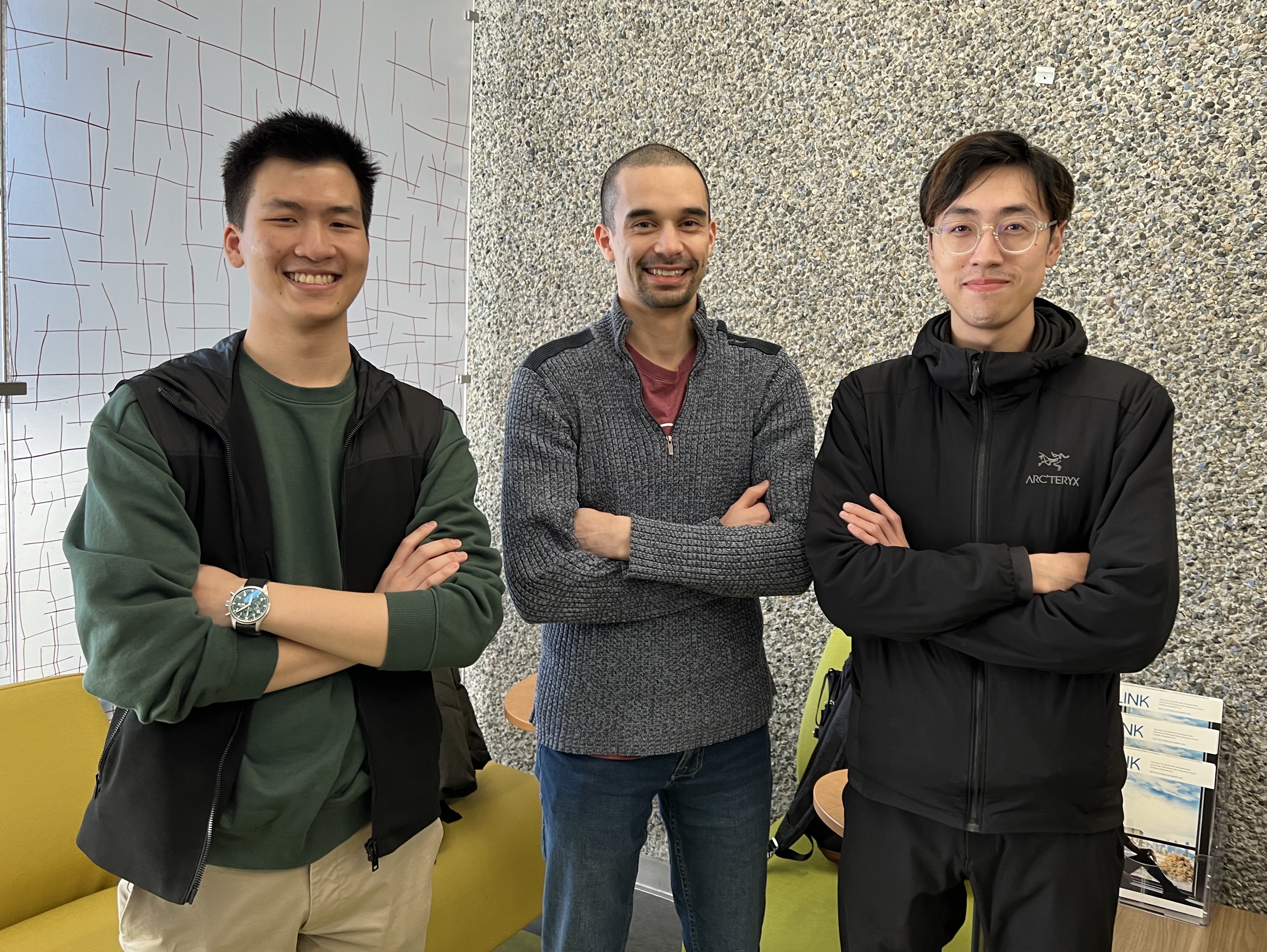
Esri Canada congratulates GeoJAM, the winning team of the App Challenge 2023!
App: Conservation Suitability Explorer (CSE)
Hosted in ArcGIS Online
- Conservation Suitability Explorer Hub: https://conservation-suitability-explorer-bcitgis.hub.arcgis.com/
- Conservation Suitability Explorer Experience: https://experience.arcgis.com/experience/097c573f65c74d189f2e9db322a8995e
Mission Statement
On December 9, 2022, the federal government of Canada set a goal of conserving 30 percent of the country’s land and water by 2030. Canada has conserved or protected 13.6% of its land (equivalent to 1,355,029 km2) and 14.6% of its water (842,828 km2) by area as of December 2022. Therefore, in the next seven years, Canada will need to protect an additional 16.4% of its land (1,637,486 km2) and 15.4% of its water (or 885,500 km2) to meet its conservation goals.
GeoJAM’s mission is to assist decision makers, organizations, and conservationists in finding and prioritizing terrestrial areas for conservation. Our app, Conservation Suitability Explorer, is an interactive and visual information product that presents map layers that can be used to inform conservation efforts in British Columbia. Although this project focuses on the province of British Columbia, our ideas and methods could be adapted to the entirety of Canada as well as extended to include marine areas.
Video Presentation
Documentation
Team Members

Junior Thiensirisak: (left) I am currently a student at BCIT for the Advanced Diploma program and graduated with a BSc in Earth and Environmental Sciences from McMaster University in 2022. My background is mainly geology and business related however during my undergraduate studies, I stumbled upon GIS and decided that this was something I see myself doing as a career due to its diverse applications. Concurrently with my studies at BCIT, I'm working at a real estate company assisting with map creation and basic retail analysis. In my free time, I enjoy travelling to new places and playing video games with my friends.
Anthony Wong: (right) I graduated from the University of British Columbia in 2020 with a BA in Geography (Environment and Sustainability) and a minor in Economics. After graduation, I decided to pursue a career in GIS which led to me being currently enrolled in the BCIT Advanced Diploma Program in GIS. During my time in this program, I hope to develop technical skills required toward my interests in utilities, urban planning, and data integration/management. Outside of academics, I enjoy working on automobiles, playing computer games and travelling.
Michael Wong: (middle) I am currently enrolled in BCIT’s GIS Advanced Diploma Program and graduated with a BSc in environmental science from SFU. I most recently worked in the environmental consulting industry but decided to pivot into GIS as it was something that interested me during my undergrad and I enjoyed making maps and diagrams for environmental reports. As part of BCIT’s program, I am working on a project for a non profit conservation organization that involves conducting analyses on ecological observations located on or near the organization’s conservation properties. I hope to continue to use GIS to work on environmentally related projects in the future. My hobbies include playing ice hockey and video games.