App: Urban Greening
Hosted in ArcGIS Online:
- Urban Greening StoryMap: https://storymaps.arcgis.com/stories/8a7b54ddb62d475d9dd8db41b6959696
- GreenAbilityExplorer: https://experience.arcgis.com/experience/76af67077c2849d1ad2002fa3082d071/
- GreenSpaceFinder: https://experience.arcgis.com/experience/5a9fbe8de7f04dd9b7e22aa78548c275/
Mission Statement
Greenspace and urban ecology are vital for the health of a city. Impermeable surfaces contribute to surface water pollution, flooding, and amplify the Urban Heat Island effect. Urban greenery provides an opportunity to use a single intervention with multiple benefits.
We developed GreenAbilityExplorer to help city planners identify sites within Metro Vancouver where there is a need for urban greenery and the potential to convert currently impermeable land to greenspace. Identifying potential greening sites could be the first steps to systematically expanding the reach of urban greenery. Incremental changes will strengthen urban ecosystems, mitigate the effects of Urban Heat Islands, build urban resiliency in flood and rainwater management, and contribute to the health and well-being of communities.
We recognize the important role that partnering with the local community has on the development and use of greenspace. To engage with the public, we developed a supplementary app, GreenSpaceFinder, which provides information about a greenspace of interest in the city of Vancouver. An embedded survey allows the public to provide feedback about greenspaces they visited and where they would like to see more greenspace. A link to these survey results is included in GreenAbilityExplorer.
This collaborative approach can foster a powerful partnership for urban centres to greatly improve livability, sustainability, and resiliency. Improving greenspaces and increasing the overall permeable surface area will provide long-term measurable gains in strengthening urban ecosystems. These apps support this mission by providing planners with powerful insight through effective data visualization. When added to current workflows, they have the potential to streamline the process of green planning and improve the long term outlook for the health of urban ecosystems.
Video Presentation
Documentation
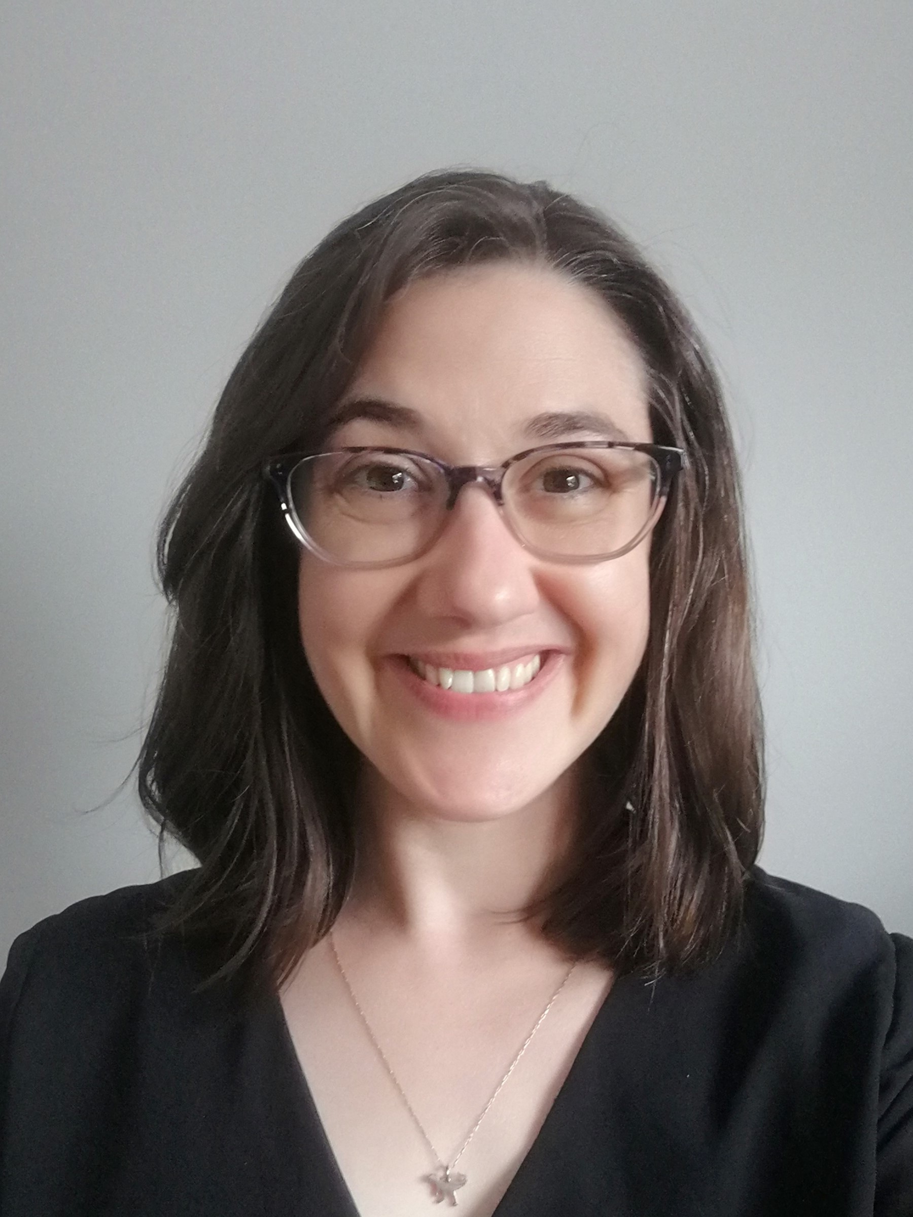
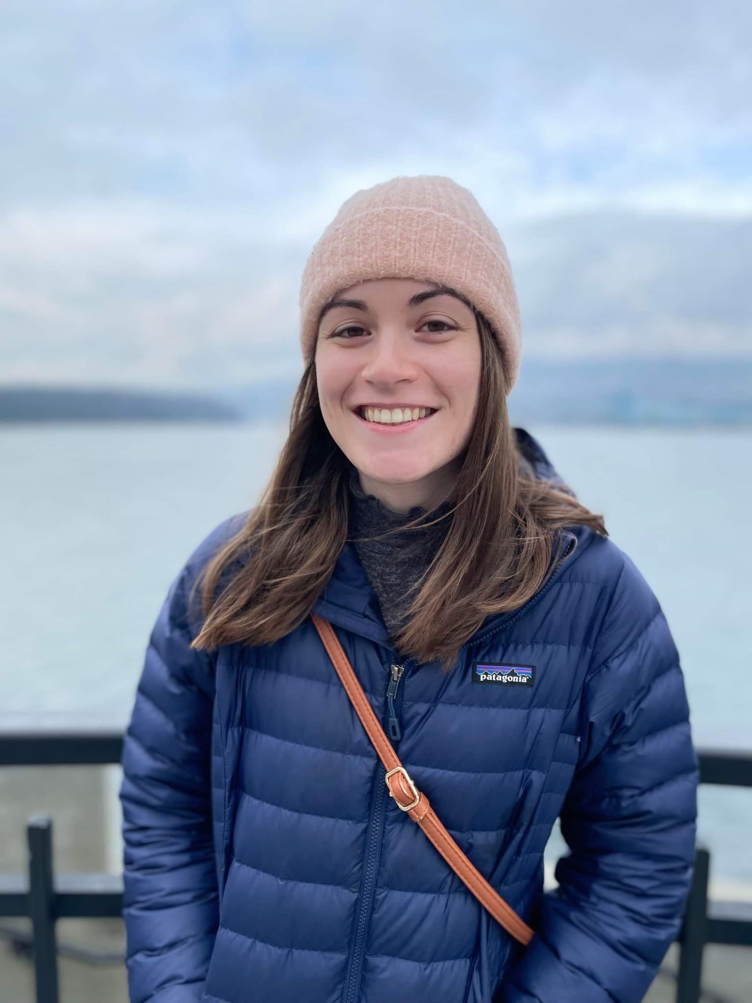
Team Members
 Alex Patterson: Alex Patterson graduated from Kwantlen Polytechnic University with a General Studies diploma in August 2021. Her focus began in sustainable landscape design and urban ecosystems in Horticultural Sciences. During her studies, she discovered the versatility of GIS and added Computer Programming in Java, Human Geography, and Introduction to GIS. Upon completion of the Bachelor of Technology in GIS program she will use her existing skills in problem-solving and collaborative teamwork with her acquired analytical skills to provide data-informed solutions to complex problems. Areas of interest include urban and social planning, urban ecosystems, and data analytics.
 David Stephen-Tammuz: David Stephen-Tammuz completed his B.Sc in Earth and Ocean Science from the University of British Columbia in 2016 with a major in Geophysics. He became interested in GIS while working on a mathematical model of rapid urbanization during his degree. Among other positions, David has since worked in shoreline classification for Geographic Emergency Response Planning, where he gained exposure to GISs in an environmental management setting. He is fascinated by GIS’s capacity to bring geographic and demographic data together to solve environmental and social problems. David hopes to apply the skills he gains during the Advanced Diploma to work in urban planning or environmental consulting.
 Katie Buell: Katie is currently working towards completing the GIS Advanced Diploma program at the British Columbia Institute of Technology. She graduated from the University of Victoria in 2020 with a B.Sc. in Earth Science/Biology, and obtained a minor in GIT. After graduation, she went onto work as a LiDAR Technician for a consulting company on Vancouver Island. While working there, she processed electrical transmission line LiDAR data and later became part of the QC team. Her role was to check the quality of processed LiDAR and train employees on how to prepare this data for meeting client standards. Katie is excited to further apply her GIS skills in any future spatial problem she encounters - whether that be in urban planning, wildlife conservation, or mining exploration.