App: EnviroAdvocate
Hosted in ArcGIS Online:
- StoryMap: https://storymaps.arcgis.com/stories/ef1ef7e8de8c44aca08860e02bedebbd
- EnviroAdvocate: https://experience.arcgis.com/experience/37c7dc901dbd423dbdb27cd58c204fd2/
- 3D Scene https://arcgis.com/apps/instant/3dviewer/index.html?appid=c120fd2b941d4c85b4b1f708bf313818
Mission Statement
“To help wildlife thrive, by being the voice for the biodiversity around us.”
During the COVID-19 pandemic, the government of Nova Scotia began creating campaigns to encourage migrants to move and work in Canada’s Ocean Playground (Chisholm, 2021). Remote workers were attracted to the safety of rural living, its simplicity, and cheaper, more affordable housing. This influx of migrants created a need to develop more infrastructure, whether it was renovating old housing, improving local roads, or creating completely new structures on undeveloped lands.
How is this increase in infrastructure affecting our backyard neighbours? What wildlife, watersheds, forests are being affected and manipulated to accommodate our growing needs?
The 2022 census from Statistics Canada showed Sydney, Cape Breton has seen a 2.6% increase in population over the course of 5 years. During the global Covid 19 pandemic, people left the hustle and bustle of the big cities and moved to quieter areas, attracted to the safety of rural living, the simplicity, and in Cape Breton’s case, cheaper, more affordable housing. The 2022 census confirms Nova Scotia saw a 2.8% population growth, with Cape Breton County making it into the top four of highest increase.
As population rises, the need for housing rises. How can we visualize and understand the effects of urban growth on the ecological backdrop? How does your new home, and this growth and development affect the wide range of habitats Cape Breton has to offer?
Video Presentation
Documentation
Team Members
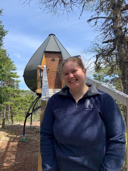 Molly Ingenmey: Molly Ingenmey is a current student at the Centre of Geographic Sciences, enrolled in the Geographic Information Systems Graduate Certificate program. Molly has a Joint Bachelor of Arts in Archaeology and Geography (2022) from Memorial University in Newfoundland. Her passion with GIS began in university, when she got a job in the Maps Room at Queen Elizabeth II Library creating and updating ESRI StoryMaps. With a combined interest in past and present human-environment interactions, she is excited to combine her skills in GIS, Archaeology and Geography!
 Jessica Grande: Jessica Grande is currently enrolled in the Geographic Information Systems Graduate Certificate program at the Centre of Geographic Sciences. Living in Antigonish, NS with her family, she graduated from NSCC in the Natural Resources Environmental Technician program in 2021, and it was there she discovered her interest in GIS! Being able to apply the knowledge from both programs to the App Challenge and stepping out of her comfort zone has been a rewarding experience.
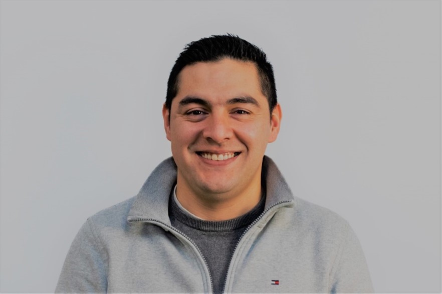 Gabriel Herrera: As a graduate student in the Geographic Information Systems (GIS) program at the Centre of Geographic Sciences (COGS) – NSCC with a background in environmental engineering, I am passionate about using GIS tools and models to analyze and mitigate the environmental impacts of human activities. My skills include geospatial data analysis, remote sensing, spatial statistics, and geodatabase management, and I have experience developing custom GIS applications using Python and different tools provided by ESRI.
My interests lie in using GIS to support evidence-based decision-making in areas such as land use planning, natural resource management, and environmental policy, focusing on modelling the socio-economic and environmental impacts of proposed development projects. I am committed to continuing my education and practical experience to build my geomatics and environmental sustainability expertise and contribute to a more sustainable future for our planet.
Gabriel Herrera: As a graduate student in the Geographic Information Systems (GIS) program at the Centre of Geographic Sciences (COGS) – NSCC with a background in environmental engineering, I am passionate about using GIS tools and models to analyze and mitigate the environmental impacts of human activities. My skills include geospatial data analysis, remote sensing, spatial statistics, and geodatabase management, and I have experience developing custom GIS applications using Python and different tools provided by ESRI.
My interests lie in using GIS to support evidence-based decision-making in areas such as land use planning, natural resource management, and environmental policy, focusing on modelling the socio-economic and environmental impacts of proposed development projects. I am committed to continuing my education and practical experience to build my geomatics and environmental sustainability expertise and contribute to a more sustainable future for our planet.