App: Hot Spotted
Hosted in ArcGIS Online:
Mission Statement
Alberta is home to approximately 800 conservation sites enjoyed by the public daily. However, these landmarks have faced an increased risk in recent years due to the warming climate and its adverse effects on the area’s disturbance ecology and fire regimes. For example, over a 13-year period between 2006 - 2018, Alberta experienced 19,844 unique wildfire events, any of which could have threatened to burn through these conservation areas.
Since the 1970s, Alberta’s boreal forest has been experiencing warmer and drier conditions. As a result of the warming climate, this area has seen a significant increase in both the frequency and severity of wildland fire events (Whitman et al., 2022). This is problematic because wildfires have many negative environmental impacts on the local area such as destroying the natural habitats of native species, contributing to carbon emissions, and depleting the forest’s ability to act as a carbon sink. Therefore, it is imperative that wildfires are addressed proactively to protect the existing forest stands and native biodiversity in Alberta.
As such, our app will help mitigate the threat of wildfire destruction by educating the user about safe fire-keeping habits and increasing awareness of the fire risk imposed on communities in Alberta. Furthermore, because wildfires are an ever-present threat, in the event that a user finds themself at risk of wildfire exposure, this app gives them the necessary tools to promptly report such a wildfire event so that it can be dealt with swiftly, before spreading out of control. This app aims to not only proactively preserve Alberta’s conservation sites by increasing wildfire awareness but to also serve as a tool to help users assess and update the historical fire danger conditions throughout the province.
We have created a StoryMap Collection called Hot Spotted, to help citizens of Alberta prevent and prepare for wildfires.
Video Presentation
Documentation
Team Members
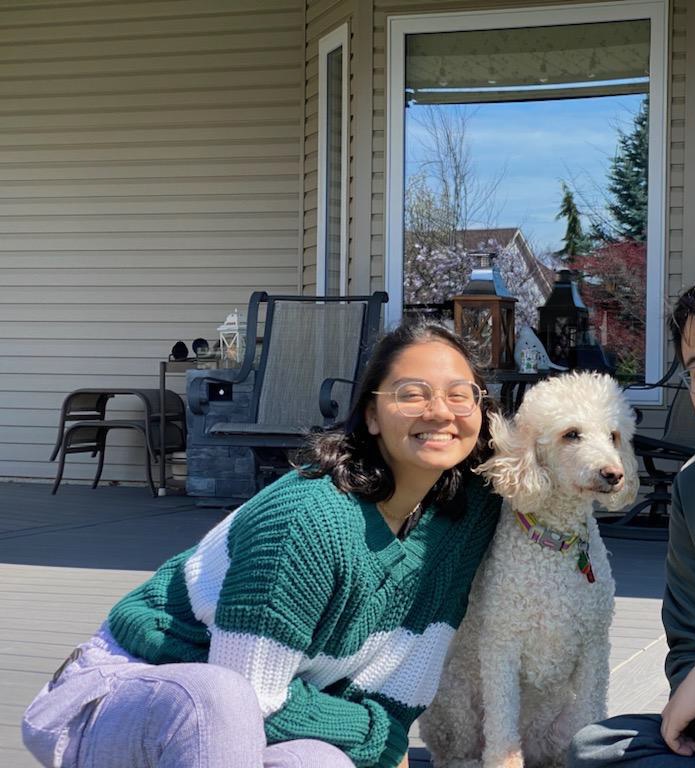
 Amy Hopman: I am currently a fourth year Biodiversity & Environmental Sciences student focusing in GIS and ecology, and I am starting work with the Canadian Hydrographic Service this Summer. My senior thesis studies how incorporation of social variables differs from Canada’s weather-based Fire Weather Index. While I’m not working away in the lab, I can usually be found crocheting, knitting, or playing with my pet frogs and dogs.
 Krisiga Krishnarajah: Currently, I am a fourth year Environmental Sciences co-op student pursuing a certificate in GIS. My senior thesis looks at the patterns and predictors of emergency department visits in Hamilton, Ontario, using data from Code Red, a study that observed disparities in the determinants of health and health status that exists in the city. During my free time, you can find me reading or playing with my cat, Kiki.
 Stuart Jones: I am a fourth year Environment & Society and Political Science student pursuing a concurrent GIS certificate. I find the study of how humans use and interact with space to be a fascinating subject and am interested in exploring how GIS can be used to analyse and visualise this relationship. In my free time I enjoy long distance running, playing Football Manager, and watching hockey.