App: Canada's Conservation Tracker
Hosted in ArcGIS Online:
- Canada’s Conservation Tracker: https://www.arcgis.com/apps/dashboards/7309567cdbaa4611b737403349a199a2
Mission Statement
The theme of the 2023 Esri Canada GIS Centres of Excellence App Challenge is Conservation and Protected Areas or Urban Ecology. These themes raise awareness about the destruction of natural landscapes and habitats. They also underscore the importance of nature outside the human environment and within our communities.
The United Nations Sustainable Development Goals 14 and 15 were created to promote the sustainable use and conservation of marine and terrestrial ecosystems (United Nations Department of Economic and Social Affairs, 2023). In support of these goals, the Government of Canada created national targets to conserve 25% of marine and terrestrial areas by 2025 (Employment and Social Development Canada, 2023a, 2023b). Team Bow Gees believes that empowering citizens to keep track of the contribution of the Government of Canada and various actors towards attaining these targets is of great importance.
Our app, Canada’s Conservation Tracker, provides information about protected and other conserved areas in Canada. Attributes pertain to geography, ownership, management, governance, level of protection, enlisted and delisted dates, and more. Overall, Canada’s Conservation Tracker provides this information in an easily accessible and understandable format to elicit discussions about the drivers of and contributors to conservation and protection of biodiversity in Canada.
The mission of Canada’s Conservation Tracker is to monitor Canada’s progress towards its 2025 conservation targets and allow users to investigate trends in conservation with respect to factors such as time, geography, and governance. Monitoring progress and investigating trends are essential tasks for decision-making and ensuring the goals are reached.
Video Presentation
Documentation
Team Members
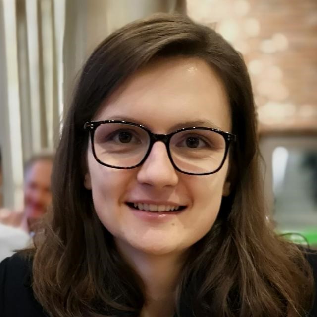
 Hawjin Falahatkar: I am an MSc student in geography at the University of Calgary, and in my thesis, I identify and assess the physical features of urban public places that affect safety and equity for women in order to promote environmental gender inclusion employing ArcGIS Pro. To cover all multi-faceted aspects of gender-place relationships, I use multiple datasets. For instance, for features related to the ground surface material, I use aerial orthophotos; and for urban furniture, I use mobile LiDAR (Light Detection and Ranging) data, in both of which I automatically detect, classify, and map the features with the help of deep learning packages and models offered by ESRI-ArcGIS Pro. Also, outside of my academic life, I enjoy cooking, going to the gym, watching movies, socializing, and spending time in nature!
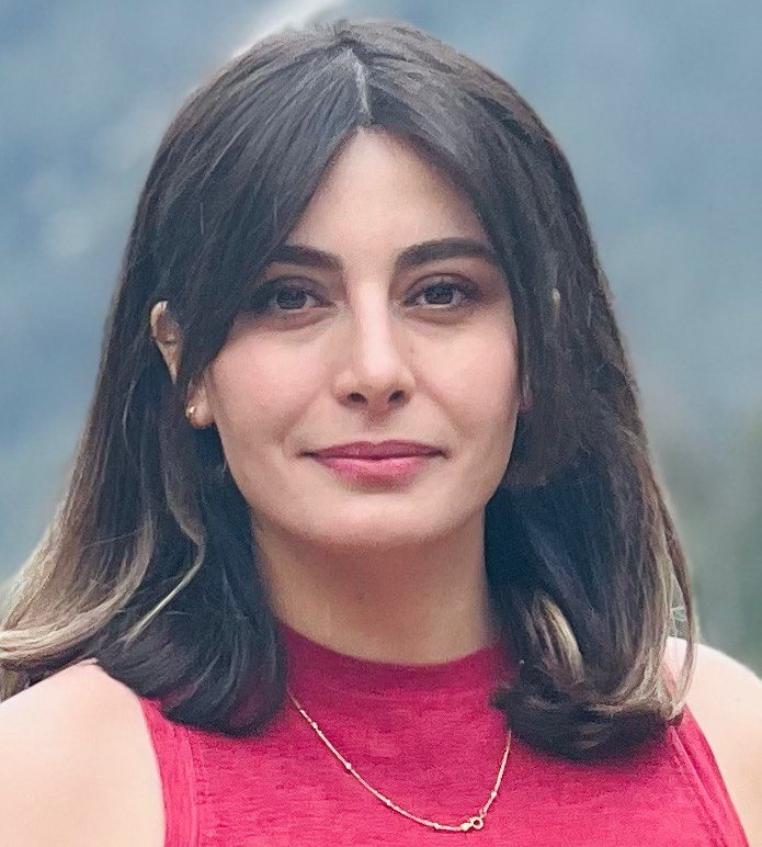
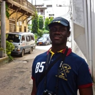 Segun Ogunleye: I am a development practitioner, and I am presently in the Master of Geographical Information Systems (MGIS) program at the University of Calgary. My research topic is titled ‘Advancing Disability Inclusion Using Spatially Enabled Crowdsourced Data to Understand How Pedestrians Experience Barriers’. My interest is in the use of GIS techniques and models to ensure equitable decision-making in the fields of urban development planning and international development to ensure no one is left behind. I am an avid traveler and love outdoor sports.
 Maja Kucharczyk: I am a PhD candidate in the Department of Geography at the University of Calgary. The overall goal of my doctoral research program is to evaluate drone-based pre- and post-disaster remote sensing as a tool to support disaster management. I enjoy the challenge of creating and communicating GIS workflows which strive to increase the efficiency and safety of disaster-related information extraction. I am currently developing an end-to-end workflow in ArcGIS Pro for automated post-storm roof damage detection and delineation using artificial intelligence (deep learning) and drone imagery. Outside of the university, I love reading, vegan cooking, and being in nature on my feet, bike, and skis.