App: Cul-Grow
Hosted in GitHub
- Project Website: https://adamreidsmith.github.io/ecce-app-challenge/
-
Hosted in ArcGIS Online:
- Story Map: https://storymaps.arcgis.com/stories/de95eb6e007642089686dc1c0b2bd677
- Cul-Grow: https://experience.arcgis.com/experience/faa11e97b9a74cf5b5a54123e1ddebd4
Mission Statement
As of 2021, over 73% Canadians lived in large urban centers, and this number is continuing to grow [1]. However, a recent Statistics Canada study [2] showed that urban greenness decreased in nearly every major urban center in Canada in the previous decade. In particular, Calgary’s urban greenness reduced from 56% in 2011 to only 42% in 2019, and Calgary now ranks with the second lowest urban greenness score out of all large urban centers in Canada at a mere 37.6% [3].
Urban green space provides numerous crucial benefits to the environment and the quality of life of citizens. The increase in vegetation density that green spaces provide can improve urban air quality and mitigate the effects of urban heat islands by functioning as an air conditioning system, cooling the environment and balancing temperatures [4]. Green spaces also provide habitat to wildlife and increase connectivity of habitats that have been left fragmented by urbanization. This improves urban biodiversity and reduces conflict between humans and wildlife. Moreover, green spaces provide substantial improvements to the urban drainage system by increasing the prevalence of pervious landscapes and improving water storage capacity of the soil. This aids in reducing stormwater runoff and helps protect urban areas against flooding [5]. Finally, especially among children and young adults, access to nature has been shown to improve mental health, reduce stress, and improve cognitive function, leading to healthier and happier communities [6]. As such, increasing urban green space is vital to the health of our urban environments and the communities in which we live.
In response to the destruction of natural landscapes and habitats in and around the City of Calgary, our team, the GeoTrio, has developed an application called Cul-Grow to help address the problem of diminishing green space. Cul-Grow aims to promote the development of urban green spaces, raise awareness for the need for increased green space in Calgary, and highlight the importance of nature within our communities. We aspire to progress Canadian urban centers towards the United Nations Sustainable Development Goal 11 target 11.7: “By 2030, provide universal access to safe, inclusive and accessible, green and public spaces…” [7]. We do so by providing a tool for decision makers to view and score potential locations for new public green spaces based on sociological and environmental factors. Moreover, we aim to communicate the importance for green space development by providing a visual analysis of the reduction in greenness that has occurred in Calgary in the 21st century.
Motivation
Nestled in the foothills of the Rocky Mountains, Calgarians take immense pride in the City’s reputation for outdoor recreation. In recent years, the city has witnessed an unprecedented surge in population growth, and with it, an expansion of urban development. One of the unfortunate repercussions of this has been the proliferation of artificial structures and impervious surfaces, turning Calgary into a concrete jungle with the lowest levels of urban greenery among Canada’s top five most populous cities. Statistics Canada reported a 20% loss of green space in Calgary between 2011 and 2023 [2], serving as a poignant reminder of how human activity can irrevocably damage natural landscapes and habitats.
Urban green space refers to any land within an urban area that is covered by vegetation such as trees, plants, gardens, or parks. It provides a multitude of ecological, social, and economic benefits to the community, and facilitates the interactions between living organisms and their physical and social environment.
To address the loss of green spaces and natural landscapes in Calgary, Team GeoTrio at the University of Calgary developed an application, Cul-Grow, using Esri technology to promote the Cultivation and Growth of green spaces and natural areas within the city. The application offers tools to highlight and examine the evolution of green space over the past five years. As well, the application provides practitioners and decision makers with functionality to identify suitable locations for new green spaces and evaluate existing development permits that promote the growth of greenspaces with the goal of highlighting the importance of nature within our communities.
To read more about our motivations and methodology, and to see interactive visualizations of the environmental degradation occurring in Calgary, visit our story map.
References
[1] “Canada’s large urban centres continue to grow and spread,” Statistics Canada, Feb. 2022. Available: https://www150.statcan.gc.ca/n1/daily-quotidien/220209/dq220209b-eng.htm
[2] N. Lantz, M. Grenier and J.Wang, “Urban greenness, 2001, 2011 and 2019,” Statistics Canada, Aug. 2021. Available: https://www150.statcan.gc.ca/n1/en/pub/16-002-x/2021001/article/00002-eng.htm
[3] “Census of Environment: Urban greenness, 2022,” Statistics Canada, Nov. 2022. Available: https://www150.statcan.gc.ca/n1/daily-quotidien/221117/dq221117e-eng.htm
[4] P. Hesslerová, J. Pokorný, H. Huryna, J. Seják, and V. Jirka, “The impacts of greenery on urban climate and the options for use of thermal data in urban areas,” Progress in Planning, vol. 159, May 2022. Available: https://doi.org/10.1016/j.progress.2021.100545
[5] E. Zimmermann, L. Bracalenti, R. Piacentini, and L. Inostroza, “Urban Flood Risk Reduction by Increasing Green Areas for Adaptation to Climate Change,” Procedia Engineering, vol. 161, pp. 2241-2246, 2016. Available: https://doi.org/10.1016/j.proeng.2016.08.822
[6] S. Tillmann, D. Tobin, W. Avison, and J. Gilliland, “Mental health benefits of interactions with nature in children and teenagers: a systematic review,” Epidemiology and Community Health, vol. 72, no. 10, Sept. 2018. Available: https://jech.bmj.com/content/72/10/958.abstract
[7] “Goal 11: Sustainable Cities and communities,” UNEP. Available: https://www.unep.org/explore-topics/sustainable-development-goals/why-do-sustainable-development-goals-matter/goal-11
Video Presentation
Documentation
Team Members
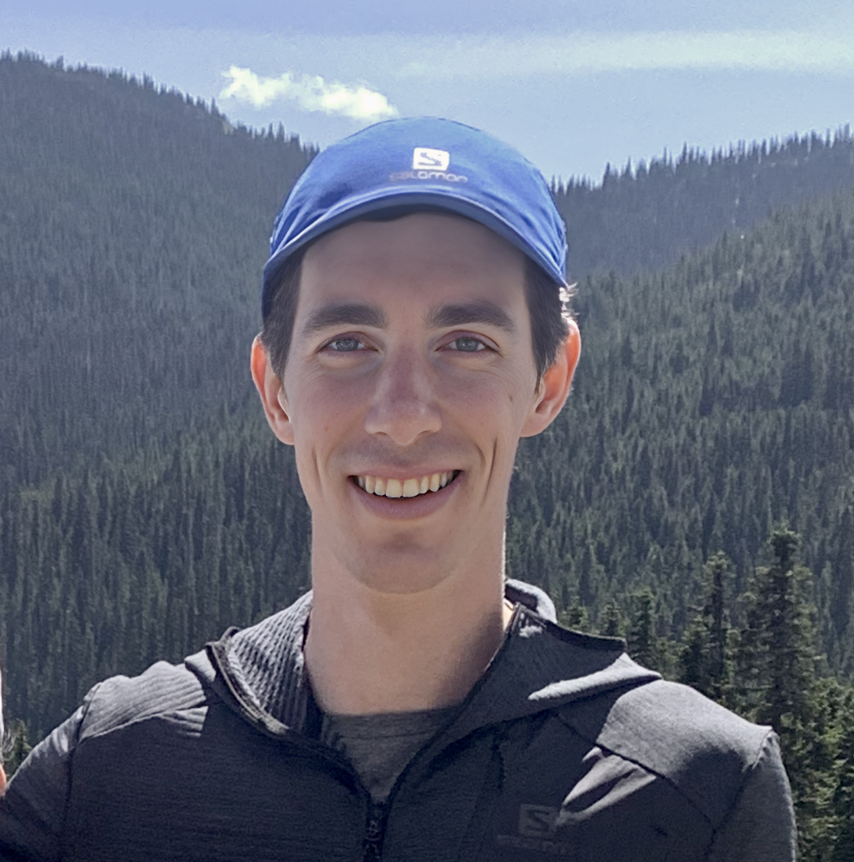
 Adam Smith: Adam is currently a first-year master's student in the Department of Geomatics Engineering at the University of Calgary. Adam completed his undergraduate degree in mathematical physics from the University of Alberta in 2020 and gained an interest in GIS after designing a route planning app to accomplish some athletic goals. His current research is focused on integrating quantum computing approaches into geomatics, and he is excited to apply his experience in physics to advance geospatial computing with quantum technology. Apart from academic and professional pursuits, Adam spends as much time as possible in the mountains of western Canada, either mountain running and climbing in the summer, or nordic and alpine skiing in the winter.
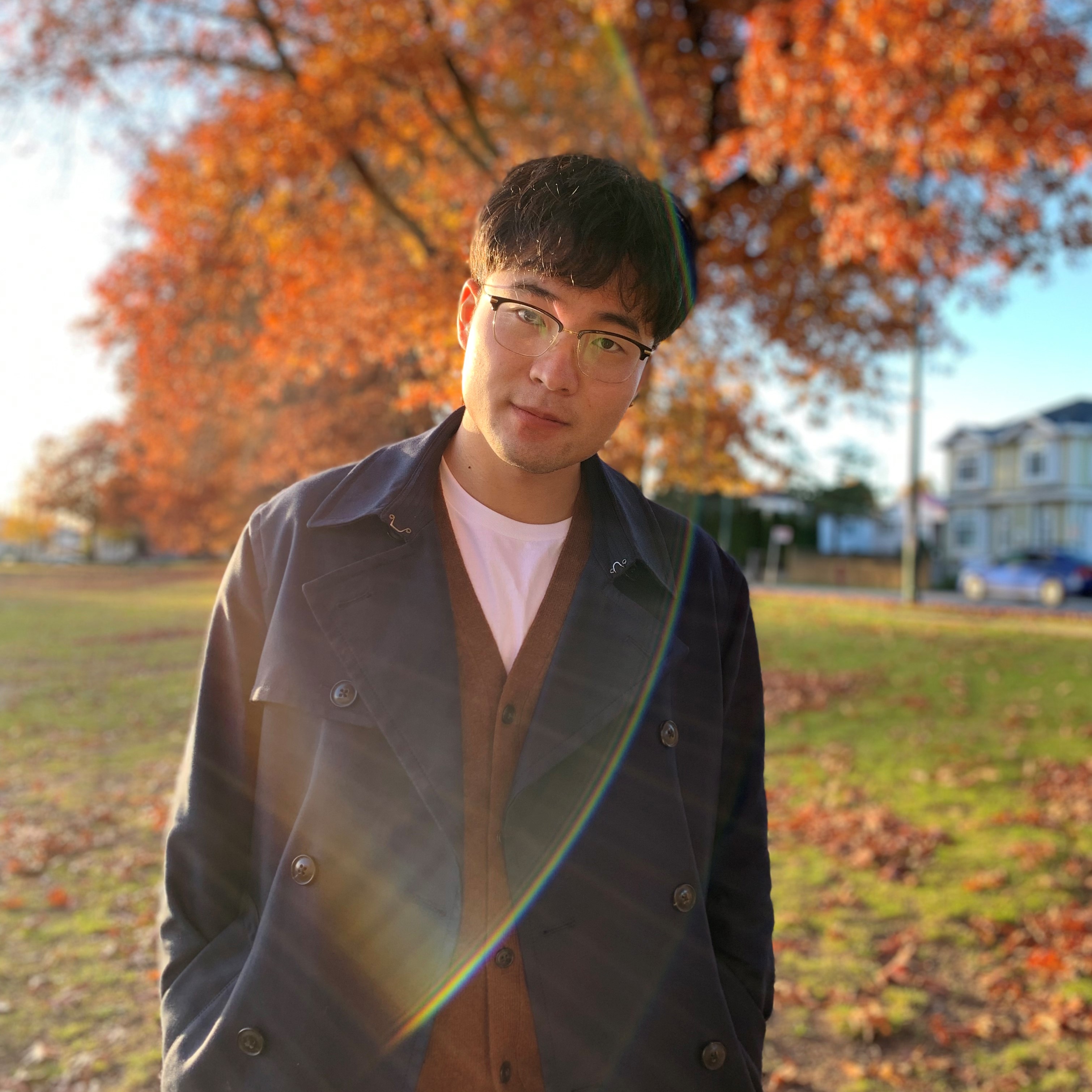
 Zonghao (Wade) Zhang: Wade is a second-year Master of Science in Geomatics Engineering student at the University of Calgary. Wade completed his undergraduate degree in Geomatics (B.Sc.) from the British Columbia Institute of Technology (BCIT) in 2018, which offered him the opportunity to learn and understand Geomatics from traditional land surveying to advanced technologies, such as drone mapping. Wade's current research applies the Agent-Based Model (ABM) in transportation. The multiagent spatiotemporal simulation of autonomous vehicle fleet operation is under development by using the City of Toronto as the use case. Outside of academics, Wade loves reading Chinese poems and history, snowboarding in the resort and backcountry, hiking and archery. He also enjoys teaching snowboarding as a CASI snowboarding instructor.
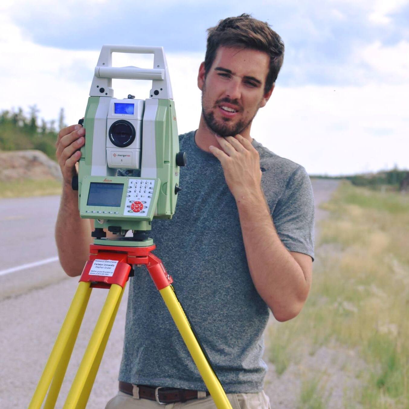
 Mark Empey: When he is not off exploring the Rocky Mountains, Mark can be found trying to keep his tropical plant collection alive or volunteering as a Group Leader for the GoGeomatics Calgary Chapter where he enjoys discussing all things geospatial over a cold beer. After working as a GIS consultant and Geomatics specialist for a number of years, Mark decided to pursue graduate studies and is now a first-year PhD student in the Department of Geomatics Engineering at the University of Calgary. Mark holds an MEng in Geomatics Engineering from the University of Calgary, along with a BSc in Geomatics and a BSc in Physical Geography from Carleton University, where his love for GIS first blossomed. Mark's research interests lie in the application of Geographic Information Systems and Spatial Data Science to address challenges in stormwater infrastructure resilience and environmental modeling.