Esri Canada congratulates The Tree-o, the 1st Runner-Up of the App Challenge 2023!
App: TReecorder
Hosted in ArcGIS Online:
- Treecorder Storymap: https://storymaps.arcgis.com/collections/c7dc2e2befb448ac88172cc808e80a96
- Treecorder Web (Web Experience): https://experience.arcgis.com/experience/79abbcf2880e408ea7f27d4c793ceea7
- Treecorder Mobile (AppStudio App): https://www.arcgis.com/home/item.html?id=d589bea02bcc41319885ba77cd8977f1
- Python Notebook 1: https://www.arcgis.com/home/item.html?id=39448152099d4014b4e123392d2ee4ca
- Python Notebook 2: https://www.arcgis.com/home/item.html?id=2f97b371d3d14659ab740044458208f2
Hosted on GitHub:
Mission Statement
Healthy urban forests are indispensable for improving a community’s livability, promoting the health of community members, and providing habitat for urban wildlife. Urban forests cool cities through shade and transpiration, combating the urban heat island effect and making cities more resilient to climate change. Further, being surrounded by trees is widely recognized as beneficial to one’s mental health, and neighbourhoods with large trees have a distinct charm. A healthy urban forest also reduces noise pollution and improves air quality, tackling some of the negative effects of vehicles on our cities. Finally, urban trees provide important habitat for wildlife, especially bird life and pollinators, helping certain species coexist with our urban landscapes.
All of these ecosystem services that urban trees provide - combined with the Government of Canada’s commitment to plant two billion trees in the next 10 years - make it worthwhile for planners and arbourists to consider urban forests while planning communities. This makes it essential for community officials to have tools to help plan biodiverse, native, and climate-resilient urban forests, while engaging community members in this process.
This is where Tree-corder comes in. TReecorder is a suite of web and mobile apps, community surveys, and GIS analysis workflows that help planners and arborists manage and plan their community’s urban forest, and help community members connect with it. TReecorder mobile allows citizens to identify and learn about street trees near them, and submit damage reports and wildlife sightings associated with each tree. TReecorder web allows arbourists to view these damage reports and wildlife settings, and planners to see a variety of layers displaying tree density, diversity, native vs. non-native species, and climate change resilience. The suite is supported by python scripts which allow local governments to quickly and seamlessly ingest their current street tree data into TReecorder.
Video Presentation
Documentation
Team Members
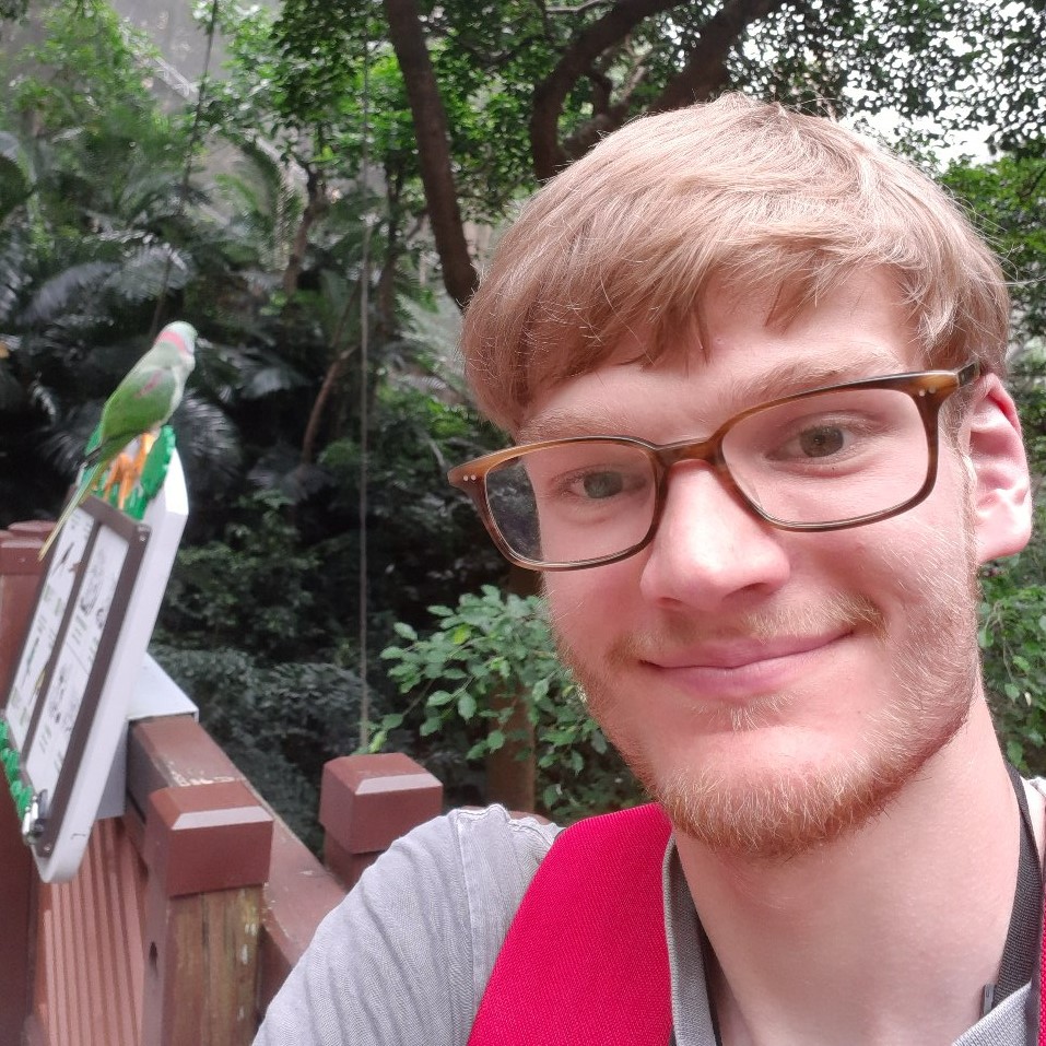 Ben Woodward: I am a fourth-year student at the University of Waterloo double-majoring in Geography and Earth Sciences. I am a former gold medalist at the International Geography Olympiad, and I am a fellow of the Royal Canadian Geographical Society. My areas of interest include geography and GIS education, coastal geomorphology, and digital humanities, and I enjoy applying my GIS and web/app development skills to these areas. Some of my projects include www.geoworkshops.ca, a free repository of geography-related workshops and resources for high school students and teachers, and atlas.digitalhistory.ca, a digital atlas that showcases historical photographs, videos, maps, and buildings from across Canada.
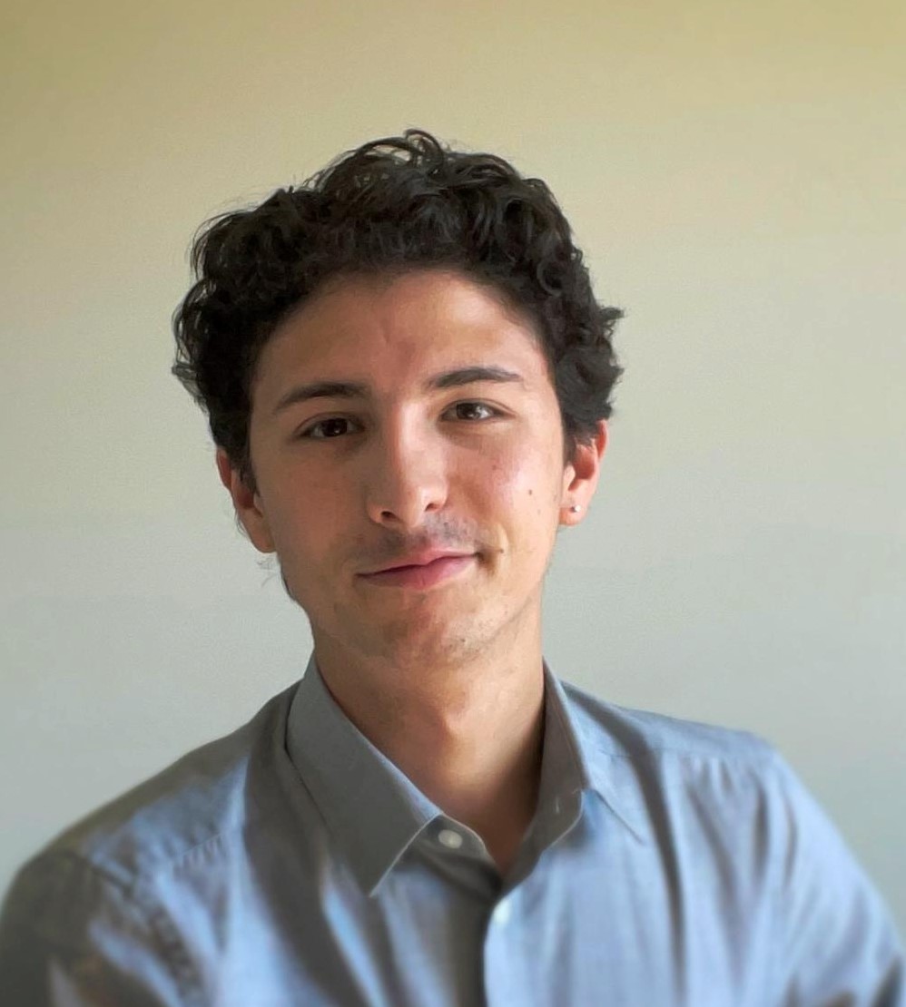 Gabriel Diniz: I am a fourth-year student at the University of Waterloo working towards a Geomatics degree and Computer Science minor. I am currently working part-time at OpenText to help develop Python scripts. I am also working on some personal side projects using Next.js. I am interested in developing useful applications and scripts using coding languages like Python, JavaScript, HTML, CSS, etc. Outside of work and school, I love soccer, games, and going out. Something interesting about me is that I was born and raised in Rio de Janeiro, Brazil!
 Paramvir Singh: I am in my last term of Geomatics at University of Waterloo. I am specializing in Climate change and environment along with a computing minor. I have a keen interest in sustainable housing and green energy. In my free time I love to go out for runs, bike rides and play sports.