App: EcoCanvas App
Hosted in ArcGIS Online:
Mission Statement
EcoCanvas is committed to democratizing access to urban environmental data, empowering citizens, urban planners, and policymakers to collaboratively shape a verdant, sustainable Toronto. Through providing accessible, user-friendly urban green space, street trees, and zoning datasets, EcoCanvas ignites environmental stewardship, fosters urban biodiversity, and promotes community well-being.
Video Presentation
Documentation
Team Members
 Sanita Richards: Sanita is a skilled GIS professional with a passion for outdoor adventures. With a BSc. in Surveying and Geographic Information Sciences, she has honed her expertise in GIS, database management, and project management. Her professional journey has taken her from Jamaica to Canada, where she has excelled in various GIS and mapping roles. Sanita is known for her dedication to mastering new technologies and her commitment to delivering high-quality work. Outside of work, she enjoys hiking, canoeing, and exploring new places with her family.
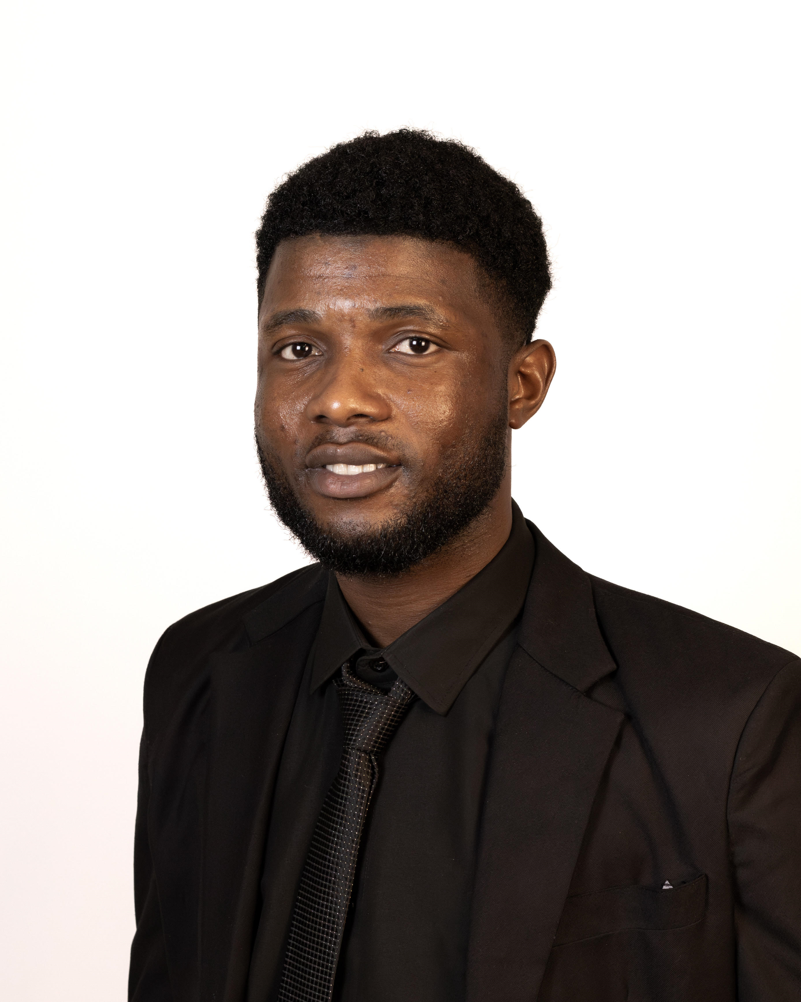
 Abubakar Lasisi: Abubakar is an emerging GIS professional with a focus on data analysis and management. Currently pursuing a Graduate Certificate in Geographic Information Systems at COGS - NSCC, he holds a bachelor’s degree in physics. With nearly 5 years of experience in the energy sector, Abubakar has contributed to analyzing electricity bills and developing the Electricity Bills Management System. Transitioning his expertise into the realm of geospatial analysis, Abubakar demonstrates proficiency in using ESRI products and is keen on further honing his skills in this field. His adeptness in database management, effective communication, and commitment to workplace safety position him as an asset in GIS roles. Beyond his professional endeavors, Abubakar enjoys traveling and cherishing moments with his family.
 Ashwin Chandrasekar: Ashwin Chandrasekar is an accomplished Geomatics Technologist and a GIS Graduate Certificate candidate at COGS - NSCC. With a diverse background in architecture and project management, Ashwin excels in geospatial technologies, UAV operations, and surveying. His expertise in ESRI products and commitment to geospatial innovation are complemented by his proven problem-solving skills and effective communication.Ashwin's professional journey reflects a dedication to learning and adaptability.