App: Calgary's Urban Expansion Insight
Hosted in ArcGIS Online:
- Calgary’s Urban Expansion Insight: https://experience.arcgis.com/experience/7c8480c1af024a51bec94d57a2956b87/
Mission Statement
Team Dinos is dedicated to exploring and analyzing Calgary’s urban evolution with a focus on sustainability and community well-being. Our mission is to uncover insights into urban expansion dynamics, empower informed decision-making, and foster a more resilient and inclusive future for our city. Through innovative use of spatial data and technology, we aim to illuminate the challenges and opportunities posed by urban growth, ultimately contributing to the enhancement of Calgary’s livability and vibrancy.
Video Presentation
Documentation
Team Members
 Man Kong Wong: Man is a second-year master’s student in the Department of Geographic Information Systems at the University of Calgary, having pursued his undergraduate degree in Geomatics. His passion for GIS was ignited during his undergraduate studies, where he engaged in community service, utilizing GIS to aid those in need. After gaining substantial experience in the geomatics industry post-graduation, Man Kong embarked on a further educational adventure to explore the vast potential of GIS in diverse fields and its capacity to serve a broader audience. His graduate research is particularly focused on examining the effects of reclamation work for runway construction on water quality in an airport area, showing his dedication to leverage GIS technology for environmental studies.
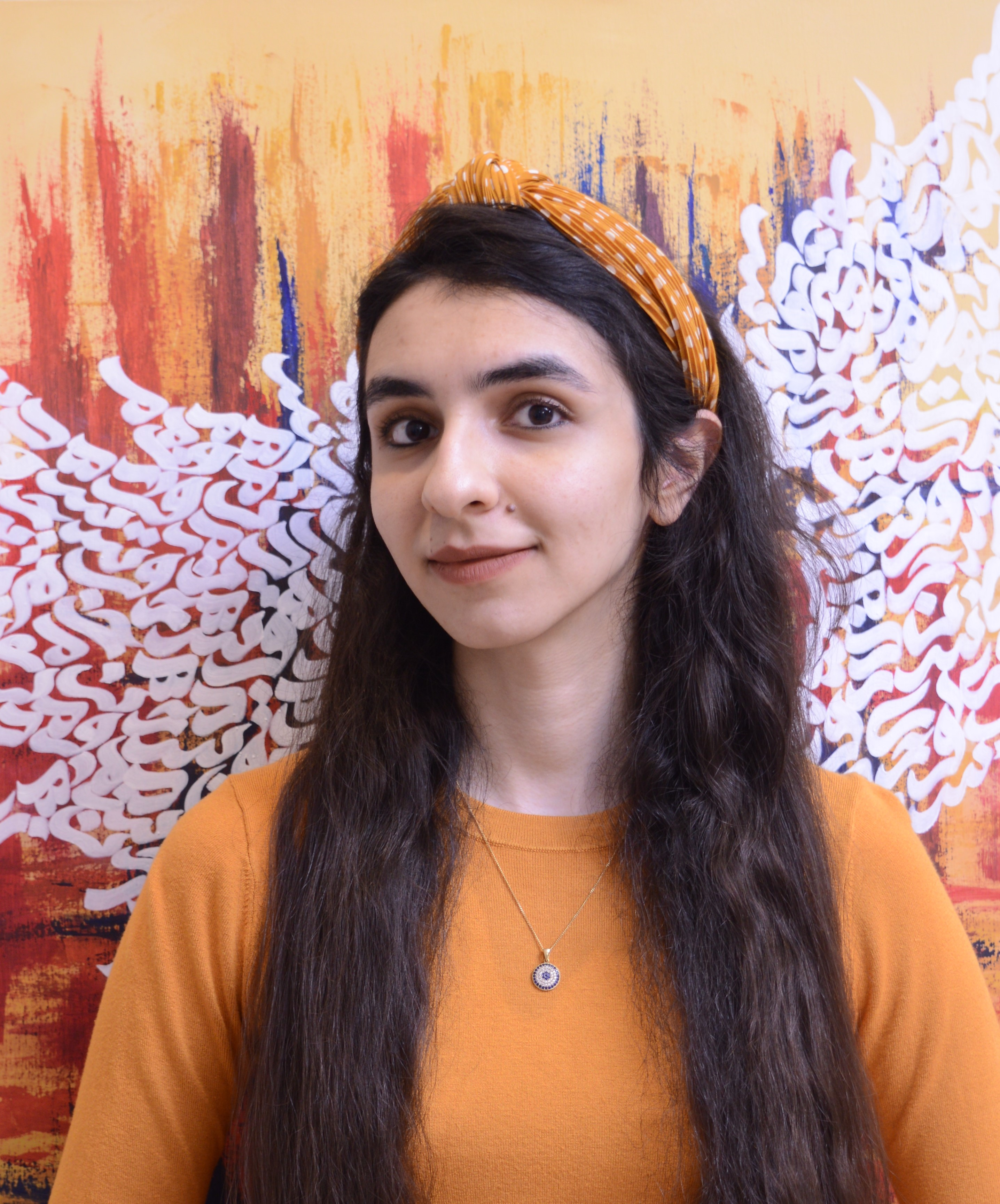
 Marjan Jahanbani: Marjan recently completed her undergraduate degree in urban studies, during which she developed a keen interest in Urban GIS. This growing passion for learning about GIS applications within urban contexts has driven Marjan to pursue a Master’s in Geographic Information Systems at the University of Calgary. Eager to apply this science to analyze and address urban issues, Marjan is committed to utilizing GIS to make meaningful contributions to the field. Marjan enjoys Persian calligraphy, a hobby that provides her with personal fulfillment while inspiring her approach to data visualization through the blending of artistic creativity with analytical insight.
 Shahrzad Sarabi: Shahrzad's educational path in urban planning started with earning her bachelor's degree from Bojnord University in Iran. She continued to expand her knowledge by obtaining a master's degree from Ferdowsi University of Mashhad, Iran, and is currently advancing her skills with a master’s degree in MGIS. In the last couple of years, Shahrzad has contributed significantly to various GIS-based projects, showcasing her dedication and expertise in the field. Presently, she is applying her GIS skills to a water-based epidemiology project at the Department of Medicine, University of Calgary. With a solid foundation in urban planning and a deep interest in GIS, her career aspirations involve advancing her proficiency in utilizing GIS technologies to address complex challenges in urban planning. She is specifically passionate about contributing to projects that improve urban environments and enhance the quality of life for communities.