App: Re.Place
Hosted in ArcGIS Online:
Mission Statement
With urban areas ever-expanding in our country and people generally moving to suburban areas, inner-city neighbourhoods are often left neglected in terms of the quality of their infrastructure. Potholes, broken wires, and lead pipes often plague these areas residents, leading to a decrease in day to day wellbeing. This leads to an overall decrease in quality of life for the people living here as they are subject to power outages, lower quality roads, and water issues at a greater rate than those living in the suburbs.
This is where Re.Place comes in. Re.Place is a collection of web apps, citizen science surveys, and GIS analyses that aim to bring awareness to infrastructure decline in inner cities. The objective is for the data collected from this app to be used by policy makers in these cities to determine where to focus their efforts on infrastructure repair
Video Presentation
Documentation
Team Members
 Rachel Liu: I am a fourth-year student at the University of Waterloo majoring in Geography and Environmental Management. My interests lie with water quality and hydrology, and I enjoy mystery novels and sudoku in my spare time.
 Rachel Pring: I am a fourth-year student at the University of Waterloo in the School of Planning. I recieved an Esri Young Scholar's Scholarship in 2023 for a project I led examining the resiliency of Nova Scotia road networks in hurricane conditions. I am interested in accessibility and climate change planning, expecially with regard to the Atlantic Provinces.
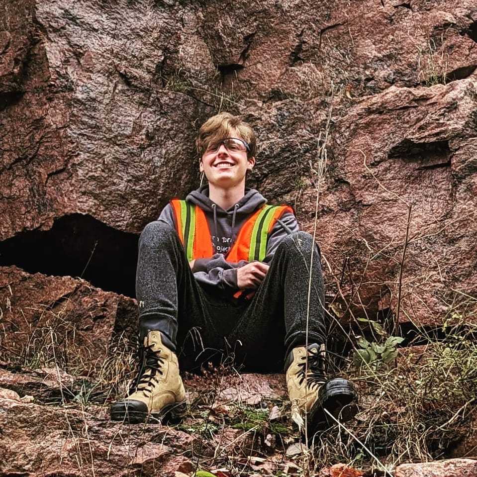
 Matthew Woodward: I am a second-year student at the University of Waterloo majoring in Geography and Environmental Management. I was a gold medalist at the International Geography Olympiad, placing eighteenth in the world in 2022. I am interested in natural disasters and using GIS to address their impacts. This interest was reflected in my work for the Northern Tornadoes Project last summer. In my free time, I enjoy following the Montreal Canadiens and hiking.