App: BiTransit Canada
Hosted in ArcGIS Online:
Mission Statement
In 2021, Statistics Canada reported that 83.9% of working Canadians relied on a car for their work commute, with only 13.9% of Canadians relying on sustainable transportation methods for their commute. Road transportation emitted 118 megatons of CO2 in 2021, showing a decrease in passenger vehicle emissions since 2005 due to COVID-19 travel restrictions and increased vehicle efficiency. The dissolution of COVID-19 regulations since 2021 has returned commuters and traffic congestion to their pre-COVID-19 numbers, subsequently increasing commute time and CO2 emissions. On average, Canadians spend $1370/month on car ownership, a price that is becoming increasingly inaccessible as other living costs (i.e. food, rent, and utilities) increase at a rate outpacing wage increases. As a result, public transit ridership has been continuously increasing after COVID-19 regulations caused significant ridership decreases.
BiTransit Canada is an easy-to-use web application that visualizes the demand for public transit against current transit accessibility by dissemination area in the cities of Victoria, and Hamilton. This app is designed to highlight areas within these cities where investment in public transit is most needed, and where budgets would be best spent. It can also be used as a tool for current and incoming residents who rely on public transportation to identify areas in these cities with the highest public transit accessibility.
Video Presentation
Documentation
Team Members
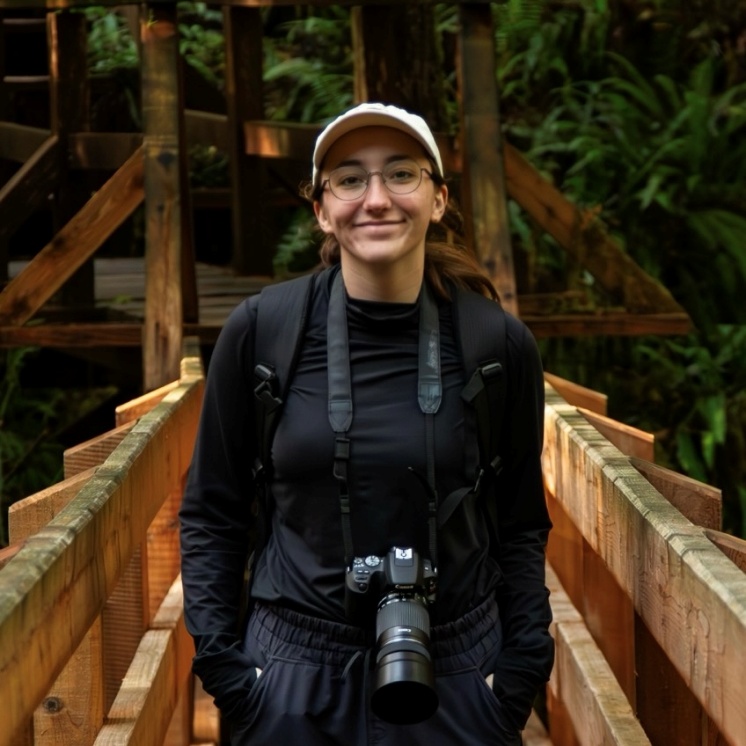
 Sophia Harder: (She/Her) I am a Geospatial Data Analytics student at NSCC COGS working on an Independent Research Project examining suitable locations in southern Ontario for affordable housing development. Last year I graduated from Dalhousie University with a BSc in environmental science and biology with a certificate in GIS. For the last three summers I have worked for DFO’s Population Ecology Division working on the stock assessment for Alosa sp. and on the multi-species ocean survey. I am most passionate about sustainable food production/food security and developing sustainable urban landscapes. In my free time you can find me hanging out with my dog, reading, or cooking!
 Hannah Freeman: (She/Her) I am currently pursuing a Geospatial Data Analytics Graduate Certificate at NSCC COGS and will soon begin my Master of Science in Applied Geomatics at Acadia University, where I will focus on analyzing and visualizing trends and patterns in Common Eider satellite tracking data. In 2024, I completed my BSc Honours in Environmental Science at Dalhousie University. I have a strong passion for using GIS to explore themes related to conservation and social sciences, and I’m always seeking new and creative ways to visualize data and effectively communicate scientific findings. Outside of my academic pursuits, I love climbing, hiking, and enjoying time with friends and family!
 Esther Kayode: (She/Her) I am a geospatial data analyst with a background in Earth Sciences and Political Science from Dalhousie University. I am currently completing a Graduate Certificate in Geospatial Data Analysis at NSCC, where I apply GIS insights and data analysis to complex challenges in mining, energy, and environmental policy. My work has included optimizing site selection for mineral exploration, assessing accessibility to polling stations, and developing ETL pipelines for geospatial data. With expertise in Python, R, SQL, and ArcGIS, I am committed to using data-driven insights to inform decision-making in policy making, resource management and sustainability.