App: Cost of Canada
Hosted in ArcGIS Online:
Mission Statement
The mission of Team Sustainappbility, with the app Cost of Canada is to give Canadians a better standing of the data behind the cost of living crisis we are experiencing; just how much costs have risen to today and in a broader geographic context. This is not something you are going through alone, and we have the maps to prove it. We aim to arm users with the information to weather this challenging time, whether through current pricing information or the ability to areas where the situation may not be so dire in terms of affordability. As per our team we are also concerned with informing users about the sustainability intersecting the cost-of-living crisis particularly in the areas of energy and transportation, where shifts to more sustainable technologies have been slow, and localized.
Video Presentation
Documentation
Team Members
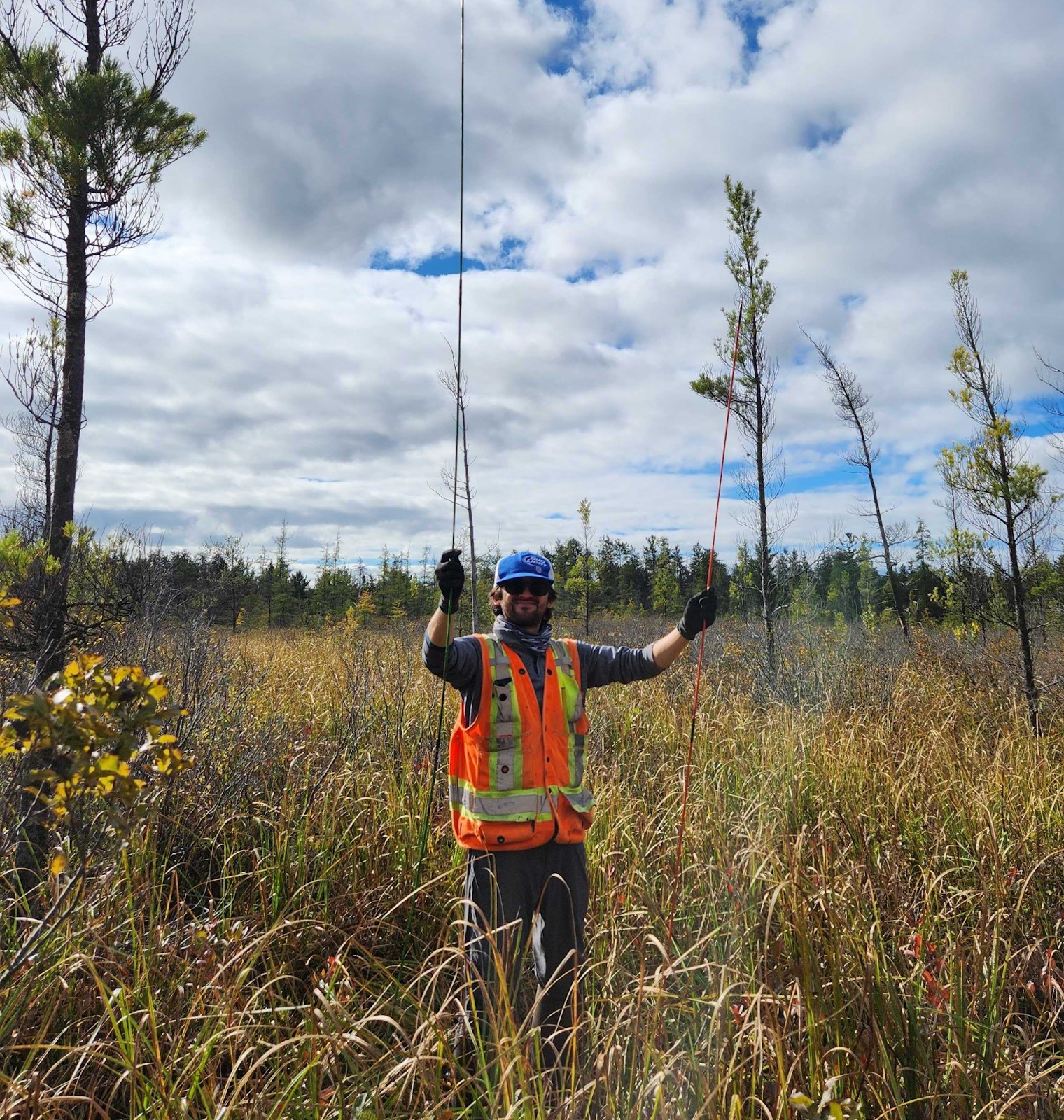 Alex Furukawa: I am a fifth year Ph.D of Earth and Environmental Sciences in the Mac Ecohydrology Lab and an ECCE student associate. My research explores the hydrological dynamics of the peatlands of the Boreal Shield and how that influences their resilience to climate change and wildfire. I’ve been a long-time teaching assistant for GIS at McMaster since my M.Sc and integrate it into my field-based research wherever I can. When I’m not in the outdoors for science reasons I also love hiking and fishing, though not typically in peatlands.
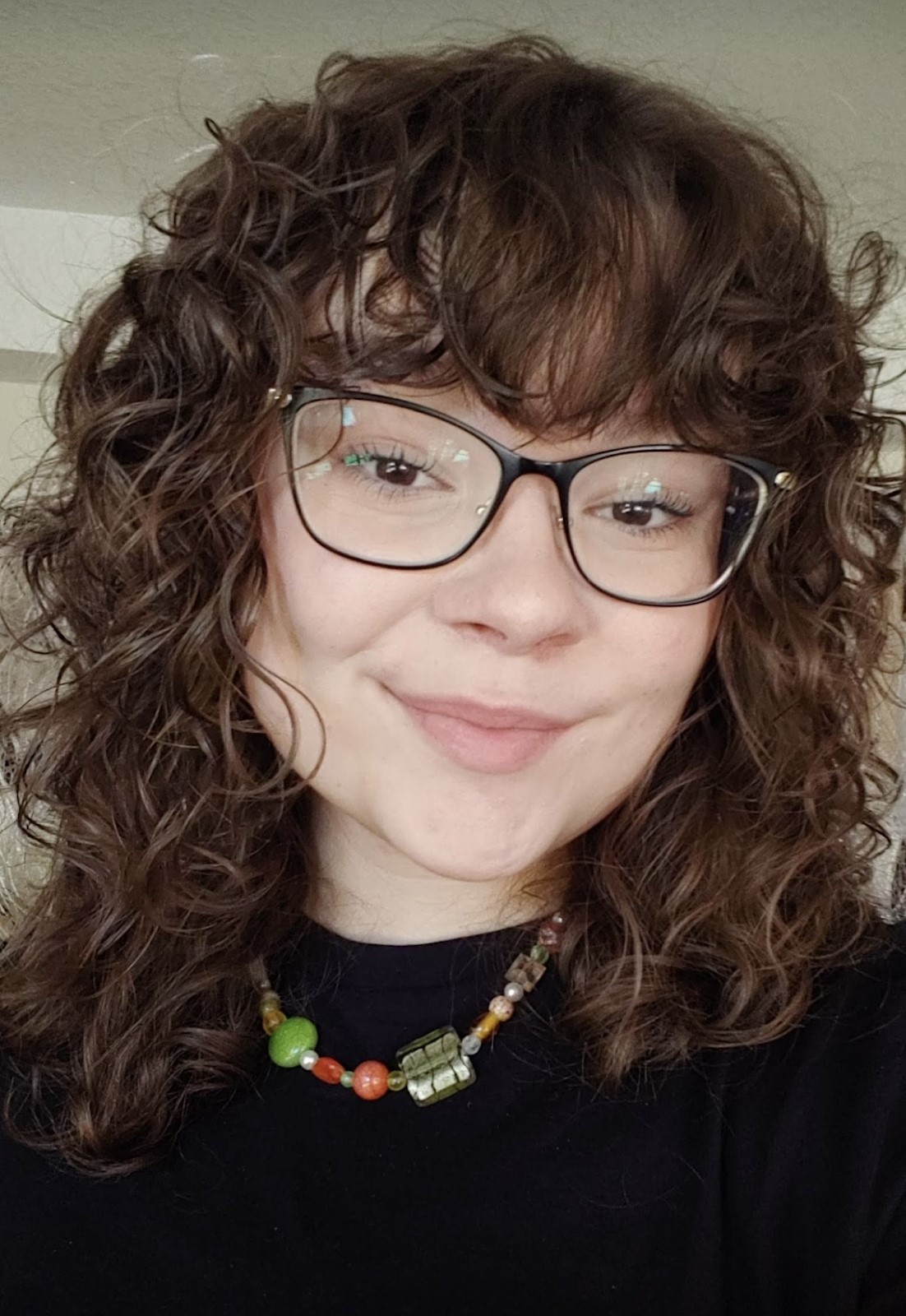 Jenna Mallison: Hi all! I’m Jenna, currently in my fifth year of Honours Earth and Environmental Sciences Co-op, and I am an ECCE student associate. I finished the courses for my Geographic Information Systems concurrent certificate in my fourth year, and have had wonderful opportunities to apply my skills and knowledge. In my fourth year, I completed my undergraduate honours thesis assessing the changes in accessibility for seniors to healthcare in Hamilton, Ontario, if the proposed LRT and changes to Hamilton’s bus system take place. My most recent co-op position was with Definity Financial Corporation as a Junior GIS Analyst. I built a custom dashboard for monitoring wildfire proximity to insured policies across Canada. Outside of academia and work, I am a reader with a love for fantasy and non-fiction books, mostly on urban studies, environmental catastrophes, and neurodivergence. I also play The Sims 4 often and take endless pictures and videos of my 1-year-old cat, Benji.
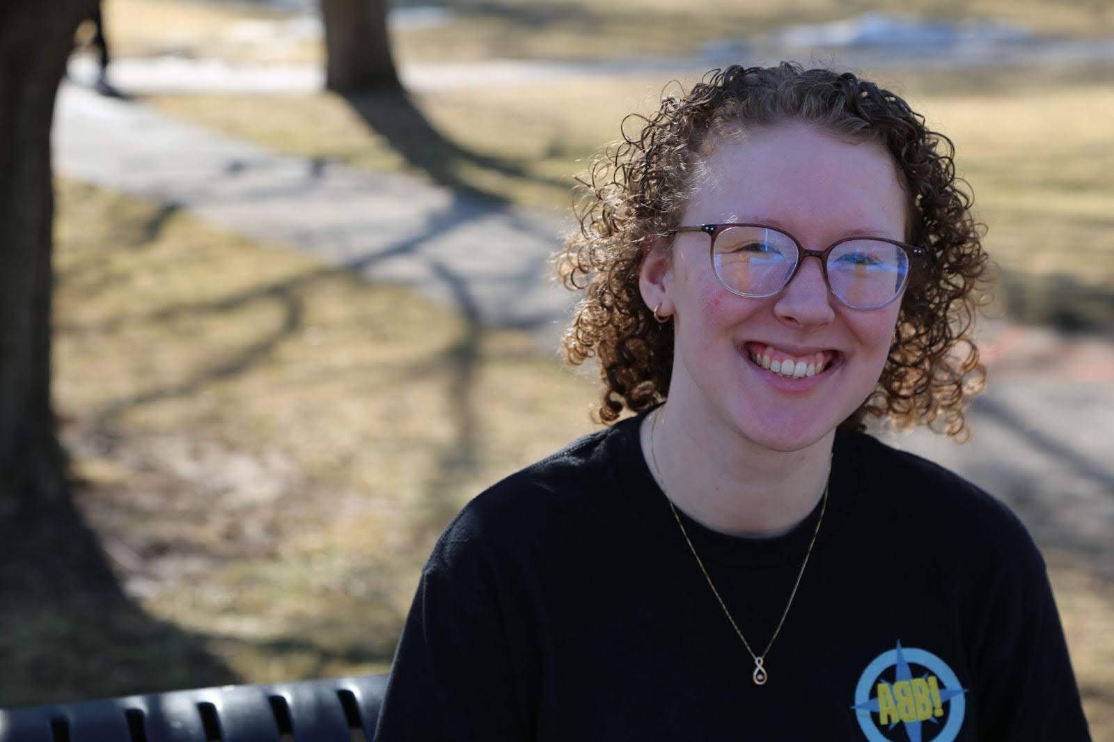 Leah Smith: I am a fifth year Honours Integrated Science student (Earth and Enviro Sci concentration) and an ECCE student associate. I’m pursuing a concurrent certificate in GIS, as well as my GIT designation with Professional Geoscientists Ontario. I completed my undergraduate thesis last year on evaluating badland susceptibility in the Basilicata region of southern Italy, using regression-based multi-criteria decision analysis. I’m interested in the use of GIS for geological and geophysical research, and as a tool for science communication. I am currently a research assistant in McMaster’s Glacial Sedimentology lab, processing drone imagery of multiple glacial lakes in Peru. Outside of academia, I am the vocal director of the MacSci Musical, I play ukulele, and I enjoy taking on small repair projects around my house.