App: Light Rail Transit Oracle
Hosted in ArcGIS Online:
Mission Statement
The Hamilton Light Rail Transit (LRT) is a priority project of the MetroLinx 2041 Regional Transportation Plan designed to improve transit to and from our city’s urban core. Upon completion, it will span 14 kilometers with 17 stops, running along the high-ridership “Main-King-Queenston” corridor from McMaster University to Eastgate Square, with connections to existing GO Transit and Hamilton Street Railway (HSR) bus services. Beyond its projected 50,000 daily riders, the project represents a massive infrastructure overhaul, replacing aging municipal utilities and bridges while fostering a healthier, more sustainable community.
(full mission statement available in-app)
Video Presentation
Documentation
Team Members
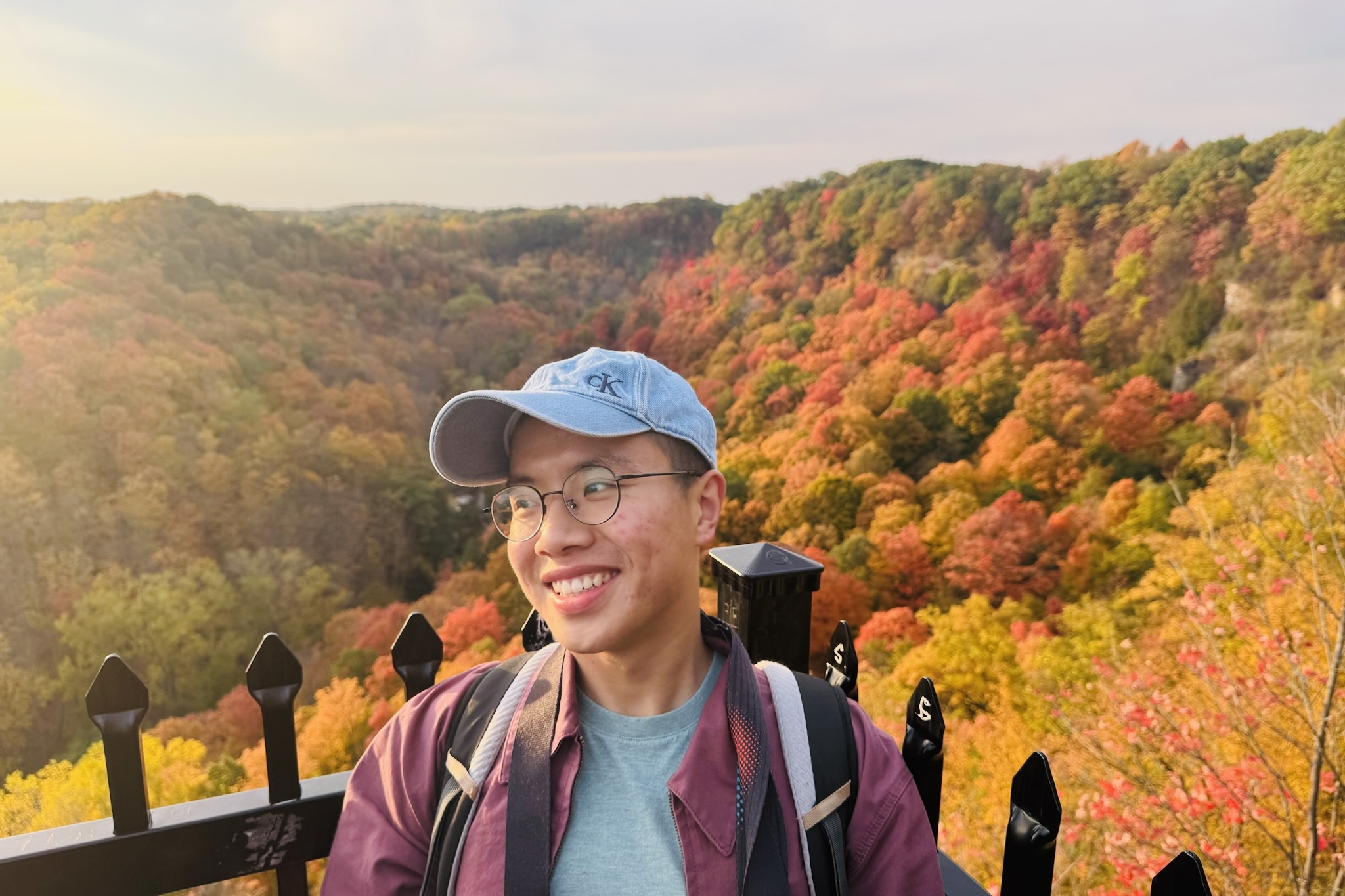 Haoran Xu: Hi! I am Haoran, currently a second-year PhD student in School of Earth, Environment & Society at McMaster University. My research focuses on building and improving activity-based transportation demand models to better predict urban traffic flow and promote sustainable transportation. I am also a huge fan in public transit and long-distance cycling!
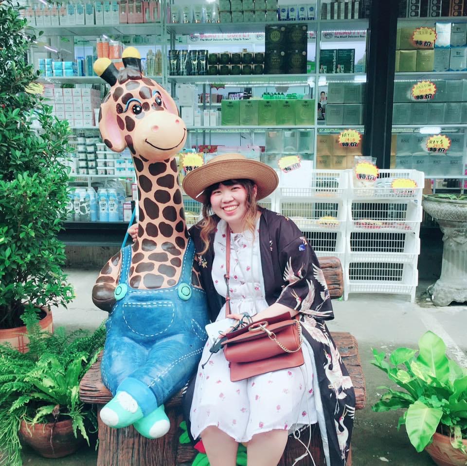 Sihui He: I am a first year master student at McScert. Before doing my master at McMaster, I completed my degree in Computer Science and Applied Mathematics at Western University. I am currently working as a software developer at an insurance company.
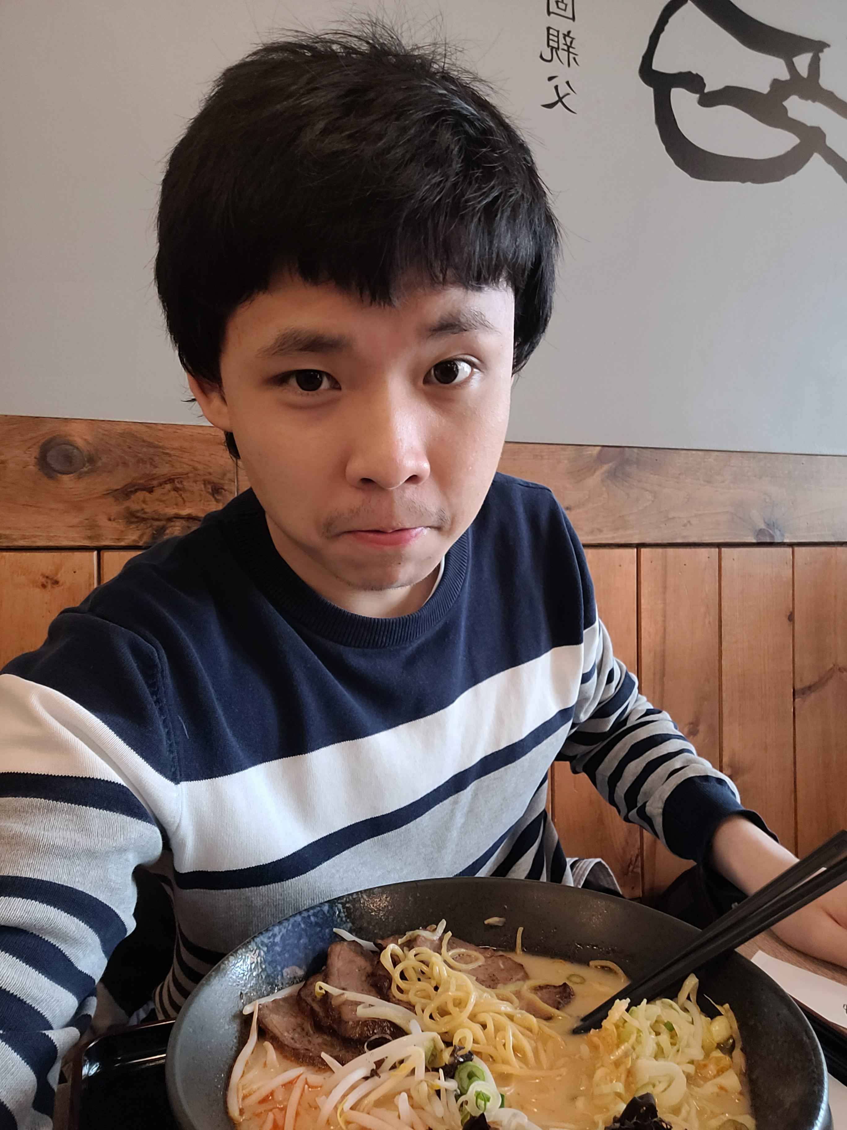 Dason Wang: Pictured herein is a modern man of principle, Dason, consuming a bowl of ramen. Dason is interested in urban transportation and its continued improvement as a natural consequence of being heavily reliant on buses (as a university student) to get anywhere. Dason believes in technology's potential for social good, and he has lots of experience developing geospatial software.