App: ChargeFinder Vancouver
Hosted in ArcGIS Online:
Mission Statement
The three of us partnered together as ChargeFinder Vancouver to present our 2026 app challenge for the Esri Canada Centre for Excellence (ECCE). Their higher education research institute put out a one week challenge in February and March to develop an ArcGIS app product in one week on the topic of sustainable transportation. In response, we created an Experience Builder application that examines Metro Vancouver regional district Electric Vehicle Charging and Accessibility.
Our app seeks to answer the question, “How spatially accessible is it to charge your EV in Metro Vancouver, B.C.? This question comes in direct response to the growth and incentivized use of EVs as a sustainable transportation alternative to gas in Canada, where the transportation sector is a major source of greenhouse gas emissions. EVs play a key role in the shift towards sustainable transportation, supported by financial incentives, regulatory targets, and continued investment in public charging infrastructure.
In Vancouver, EV adoption has grown rapidly in recent years, reflecting the city’s broader commitment to climate action and sustainability as articulated in the Climate Emergency Action Plan. Municipal efforts to expand charging infrastructure are closely aligned with provincial objectives under British Columbia’s CleanBC framework and with BC Hydro’s long-term electrification planning initiatives. A growing body of research shows that access to charging infrastructure is a critical factor shaping EV adoption, influencing both perceived convenience and the practical feasibility of long-term ownership. The location of charging infrastructure and who can access it have become more crucial issues for urban planning as EV ownership grows beyond early adopters. With these strategies for sustainability in mind, our group believes that by measuring the spatial access of charging stations, we can positively contribute to our understanding of which areas may need further development in EV infrastructure. Through both the identification of gaps in EV infrastructure and by promoting its current charging availability, we can work towards ongoing sustainable transportation for the entire City of Vancouver!
Video Presentation
Documentation
Team Members
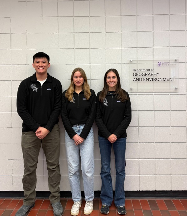
Nicolas Chen: Hi, my name is Nicholas Chen and I am a 4th year pursuing a Specialization Bachelor's in Commercial Aviation Management and a GIS Certificate at the University of Western Ontario. My unique undergraduate experience has allowed me to combine my love of aviation and transportation with geospatial analysis. I have worked as a Research Assistant to Dr. Christopher Hewitt to map the sociodemographic characteristics of London Airshow Attendees (2025) as well as completing an Undergraduate Student Research Internship on publicly accessible transit-options in Vancouver under Dr. Jinhyung Lee (2025). I am currently completing my thesis on transit in Vancouver, so I was super excited to put my research skills to the test in this year’s app challenge using Esri technology!
Samantha Sharp: Hi, my name is Samantha Sharp and I am a 4th year Honours Specialization Bachelor’s GIS student in the Department of Geography and Environment at the University of Western Ontario. Throughout my undergrad, I have focused on experiences that concern spatial accessibility, specifically concerning transportation and healthcare services. All of my educational and professional experiences have included the use of Esri technology! I have worked as GIS analyst for Ottawa Public Health (2025) and continue to work as a Data Manager for the Somerset West Community Health Centre in Ottawa (2026)! My academic work has also included an Undergraduate Student Research Internship and thesis on wildfire mapping under Dr. Natasha MacBean. For this year’s app challenge that concerns sustainable transportation, I was super excited to put my skills I’ve developed in the last 4 years to the test and learn more about user-interface design!
Angelica Simone: Hi, my name is Angelica Simone and I am a 4th year pursuing a double major in GIS and Psychology at the University of Western Ontario. On top of my degree program education, I have gained invaluable research experience in GIS analysis, having completed an Undergraduate Student Research Internship under the supervision of Dr. Jinhyung Lee (2025). My work during this internship and for my senior thesis has been on mapping the heat-exposure of transit-users in Vancouver. Next year, I plan to attend Teacher’s College and hope to carry forward the integration of spatial science into the Geography curriculum! I can’t wait to participate in this app and keep learning!