App: 15-Minute London
Hosted in ArcGIS Online:
Mission Statement
Since being coined in 2016 by Professor Carlos Morenos, the concept of 15-minute cities has taken urban planning by storm[1]. It describes a phenomenon where neighbourhoods are planned to allow residents to reach all their daily needs within a 15-minute walk. The aim of our app INSERT APP NAME is to highlight which areas in London that have the greatest access to everyday amenities. Additionally, as city buses are a vital form of transportation within London, our team has expanded this idea to also analyse which bus stops are closest to important destinations. We have included data on access to parks, healthcare centres, grocery stores, convenience stores, and schools. This will help residents to recognize desirable neighbourhoods within their city, while also allowing policy makers to identify gaps within the city’s infrastructure.
Source: Meyers, S. (2023). “Myths and benefits of the 15-minute city.” Retrieved March 1, 2026, from https://www.ucalgary.ca/news/myths-and-benefits-15-minute-city.
Video Presentation
Documentation
Team Members
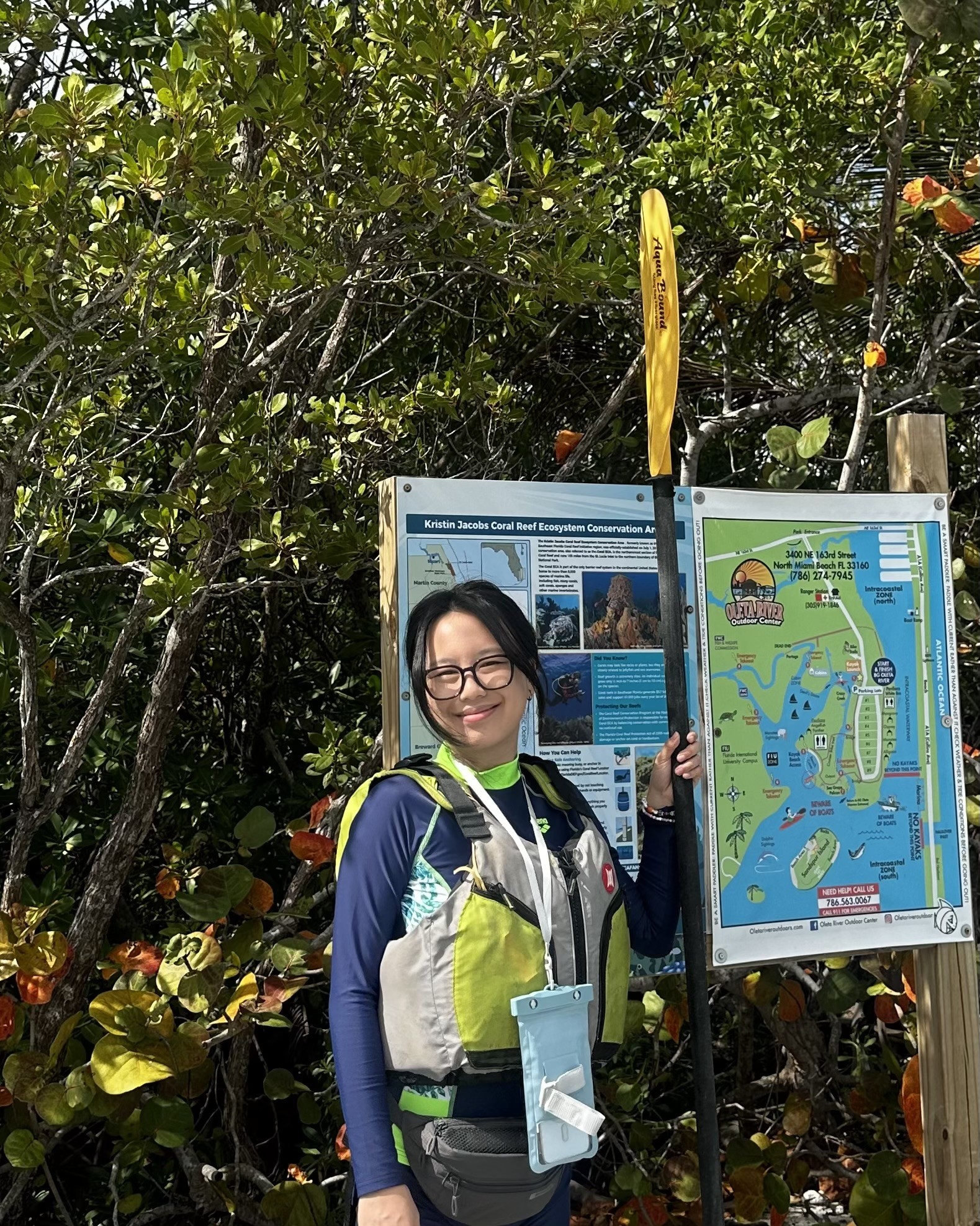 Chang (Maggie) Zhang: Second-year undergraduate student at Western University pursuing an Honours Specialization (BSc) in Geographic Information Science (GIS). I am interested in spatial analysis, GIS applications, remote sensing, and programming. Seeing the projects I have developed used by other people made me feel especially meaningful. I look forward to addressing real-world challenges in collaboration with local governments and companies in the future. Also a special thanks to Esri for the opportunity to further explore Esri products and expand my practical experience through this app challenge. Outside of GIS, I enjoy arts and crafts, travelling, and playing badminton.
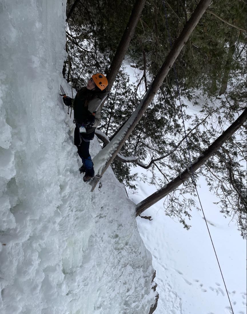 Elefteria Emile Kollias: Hi! My name is Rhea and I'm a student at Western university studying GIS, computer science, and aviation management. I love working with data (bonus points if it's spatial data) and code to understand how complex systems work, especially when it's aviation or GIS related. I’m really into fashion, skiing, and anything outdoors, and I love challenges that blend analytical thinking with creativity. Being an ECCE associate has been such a great experience, one I wish I knew about sooner, I’m super excited to be participating in this app challenge!
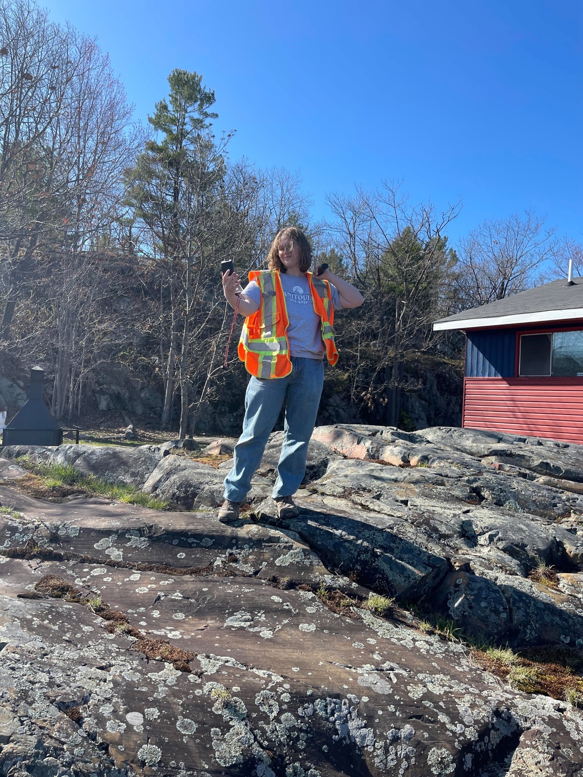 Olivia Madison Mirowski: I am a 3rd-year student at Western University, pursuing an honours double major in Geology and Geography and Environment. I am interested in sustainability, ecology, and urban planning, and how GIS can help further these areas of study. For example, my favourite GIS project that I have done was creating a map of tree species within a site undergoing environmental restoration. In my free time, I enjoy painting, writing, and hiking.