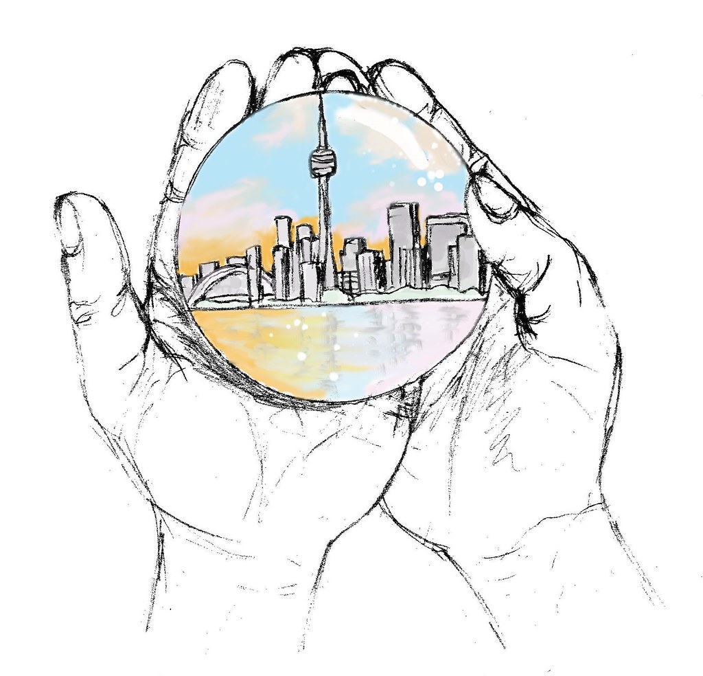
Mission Statement
Public Space and Sustainability
A sustainable community is one that is consistently improving and evolving to meet the needs and goals of the individuals who reside within it. More people are choosing to live in cities and it is projected that 75 percent of the overall population will live in an urban environment by the mid-century. The sustainability of future communities depends on access to public space that recognizes the specific needs and desires of a community.What is Accessibility and Public Space?
Enacting public accessibility involves the process of designing space functionality to ensure usability for individuals with a wide range of abilities and needs. Ultimately, this will lead to public spaces being accessible to all. A public space is an area that is intended to be used by the general public, regardless of gender, race, ethnicity, age or socio-economic level. These public gathering places include but are not limited to:· Green Spaces
· Gardens
· Playgrounds
· Recreational Centres
· Libraries
· Plazas & Squares
· Community Halls
Benefit of Public Spaces
Urban public spaces provide many benefits to cities and the communities within them. Open public spaces encourage community building and engagement, strengthen environmental connectivity and promote economic growth. Access to public space fosters a sense of belonging which directly influences the sustainability of community prosperity. Furthermore, a well used public space is a great indicator of the overall quality of an urban environment.The App: AccessToronto
In Ontario, the laws surrounding accessibility are varied. This means that it is not guaranteed that a public space will be accessible to everyone. The intended goal of AccessToronto is to support sustainability as it relates to community well-being and urban development by highlighting information regarding public space accessibility. This information can be used by community members as well as the City of Toronto and those interested in urban planning. This application will help combat the issue of inaccessibility of public spaces in the Greater Toronto Area by allowing community members to input and search locations that may meet their specific accessibility needs. AccessToronto also allows users to input new information or edit existing information about attributes of specific locations. When barriers to accessibility are addressed, communities are strengthened and elevated, aiding in the sustaining momentum of urban advancements.How It Works
AccessToronto has two main interfaces:
1. Interface for users to search for a public space based on their accessibility needs
2. Interface for users to input accessibility features of a public space
Search
Users are able to choose from a selection of types of public spaces, provided in the app, that they are interested in accessing. Types of public spaces that are provided include:Garden
Playground
Library
Recreation Centre
Plaza
Community Hall
Service Animal Friendly
Elevators
Automatic Doors
Ramps
Washrooms
Braille Signs
Auditory Signal
Fragrance Free
Water Fountain
Seating
Pathway
Shelter
Lighting Intensity
Noise Level
Slope Level
Input
Users can input and update locations to enhance upon AccessToronto’s database of public spaces within the Greater Toronto Area. To add and share a new public space, a user can click the “Create New Space” button located at the bottom of the input panel, then identify the location on the map. After a location is selected, the “Create new accessible location” window will prompt the user to report the following:· Name
· Address
· Type of Space
· Accessibility Features
The user can then click the “Submit” button at the end of the form to finish the process.
Update a Space
The user will also have the option to update the existing information for a public space on the map. To do this, the user can click on the point of interest on the map to display the associated pop-up window. Clicking on the ‘more options icon’ located in the bottom right corner provides a drop-down menu ***check and see what it actually is, with an “Edit” option. Choosing this will bring the user to the “Edit Location” form, which is similar to the “Add New Accessible Space” form. The user can make the necessary updates and then click “Submit”. Upon completion of the process, a confirmation message indicating that the location has been updated is displayed.Limitations and Potential Modifications
Due to limitations in data availability regarding current accessibility features, members of GISt the 4 of Us created data to be included
in the app to allow for demonstration of app capabilities and usage. This data includes accessibility information about green spaces, gardens,
playgrounds, and plazas.
We love this app and imagine a bright future for it. Here are some key modifications we would like to include:
· The option to provide directions to a chosen point of interest based on a starting location provided by the user.
· Providing routes that include travel via public transportation and
· In-app text customization including larger font size and inverted
· More language options
· The option to add pictures of the space and its features which would be included in the pop-up
Data Sources and Acknowledgements
Data available within the application was obtained from the City of Toronto Open Data Portal. This includes information regarding streets and roads, public buildings, and open green spaces. Map and web application created using ArcGIS Pro, ArcGIS Online and Web AppBuilder for ArcGIS software by Esri. Thank you to Dave MacLean at the Centre of Geographic Sciences for guidance during the development of AccessToronto.
The Team

