App: 1000words: A Fredericton flood event showcase
Hosted on GitHub:
Hosted in ArcGIS Online:
Mission statement
From a historical perspective, communities are formed around water bodies in the early days of settling Canada due to the necessity of shipping and transport. This can be seen quite evidently in maritime Canada, specifically Fredericton, New Brunswick. Seasonally, Fredericton experiences flooding to varying degrees as a function of snow and ice melt and precipitation. This is generally seen in the early spring during the months of April and May. While Fredericton and area residents may come to expect these conditions, it is of immense importance to be prepared for it. It is also essential to create systems to monitor the event as it unfolds in real time, in order to best plan mitigation procedures such as closing roads or evacuating areas of concern. That process however, cannot solely rest on the shoulders of municipal and emergency authorities. It is something that we as a community must all take on. With accessible mobile geospatial tools, the community becomes involved in monitoring efforts, by virtue of wherever they happen to be when water levels are rising. Therein providing the empirical information from a multitude of locations. This information is key to build a larger picture of the situation as it progresses, and ultimately the planning to manage it.
Currently in place is New Brunswick River Watch, a provincial initiative that provides forecasting and updates to the public during flood events. However – it is not always possible for municipal and monitoring staff to be everywhere at once, or at the particular time needed to identify key indicators of a progressing flood event. A centralized crowd sourced mobile app structured to gather the information required quickly and easily would greatly assist that initiative.
To the purpose of the application, the 1000words web mapping application for Fredericton would allow for the collective dissemination of user input reports on various flood conditions as they progress, as well as real time water level statistics directly from provincial gauges. This would directly support provincial, municipal and community efforts in the mitigation of the flood. Moreover, the future use of the data collected will serve as highly valuable in future urban planning initiatives. Disaster management is no longer strictly the purview of official authorities, but a collective issue that the entire community can support. Many hands make light work, after all.
Video Presentation
Documentation
- README.md
- 1_Mission_Statement_1000words.docx
- 2_AppCharacteristics_and_Future_Implementations_1000words.docx
Team Members
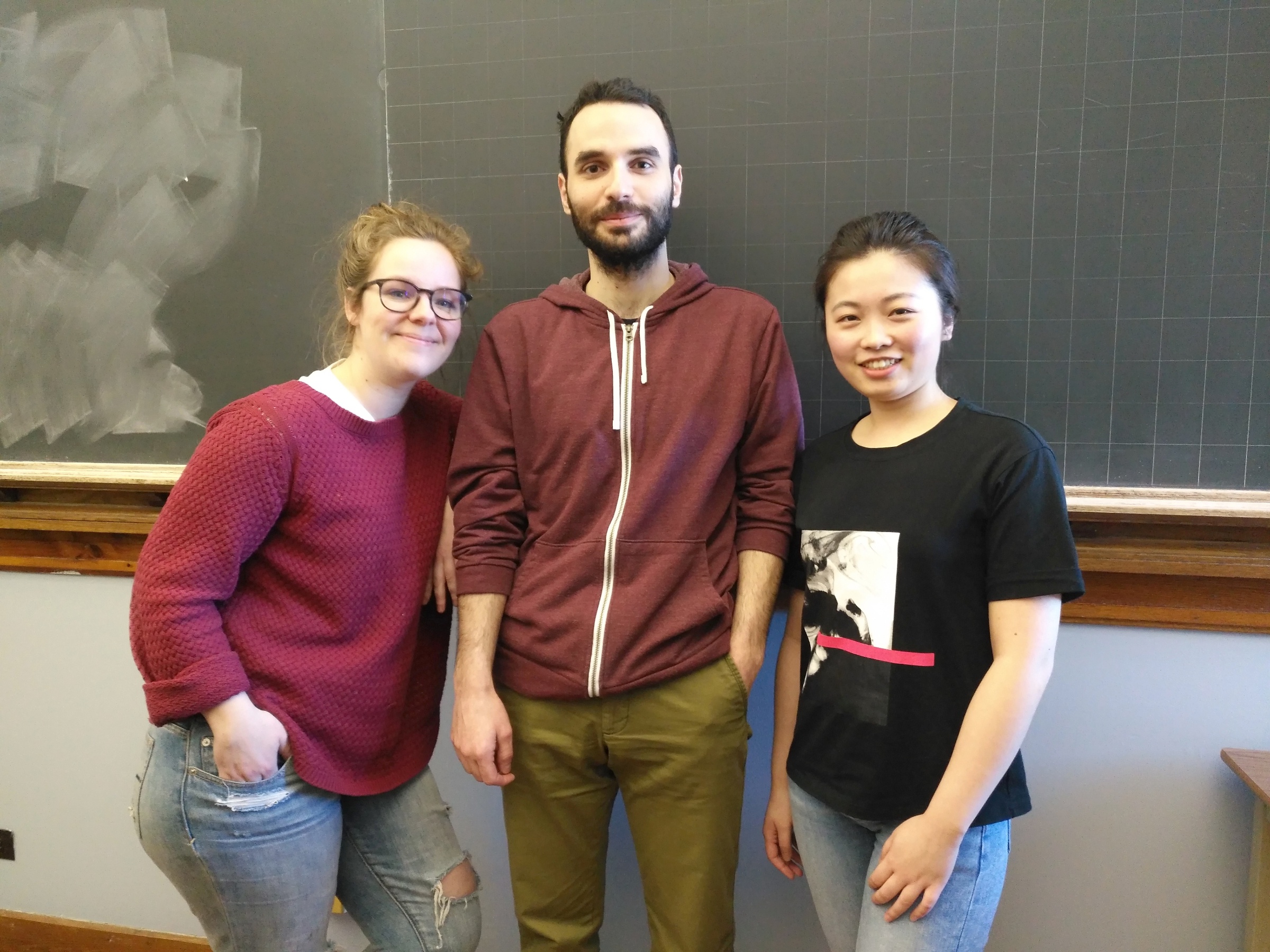
Odysseas Vlachopoulos: As per the photo, Odysseas is a casual middleman. Usually you can find him trying to bridge everyday people with science while struggling to bridge himself to academic reality. He is a Ph.D. Candidate in the University of New Brunswick, with profound interest in remote sensing and space science. He is currently conducting research in the scope of precision agriculture with experience in satellite and UAV image processing, machine learning and data analysis.
Mingke Li: Mingke (right) achieved her bachelor degree in Geographic Information Science in China, where she generated great interests in geomatics. In her fourth year, she engaged in a study aboard program in the Faculty of Forestry and Environmental Management at the University of New Brunswick, and started a new chapter in both life and study. Mingke is now a master student, working on applying spatial analysis techniques in the context of forest ecology. Her thesis topic is on analyzing influence factors and spatial patterns of spruce budworm infestation in eastern Canada forests.
Team Member 3: Team Member 3 (left, requested to have name removed) is a fourth year Geodesy & Geomatics student at the University of New Brunswick. Her current study focus is culminating in a senior design project that aims to identify cyanobacteria in the Saint John River using remote sensing techniques. She is very active in her department, having served on the undergraduate society for the past three years. Her greatest wish is to use geospatial technology and techniques to sustainably serve underrepresented and marginalized communities.