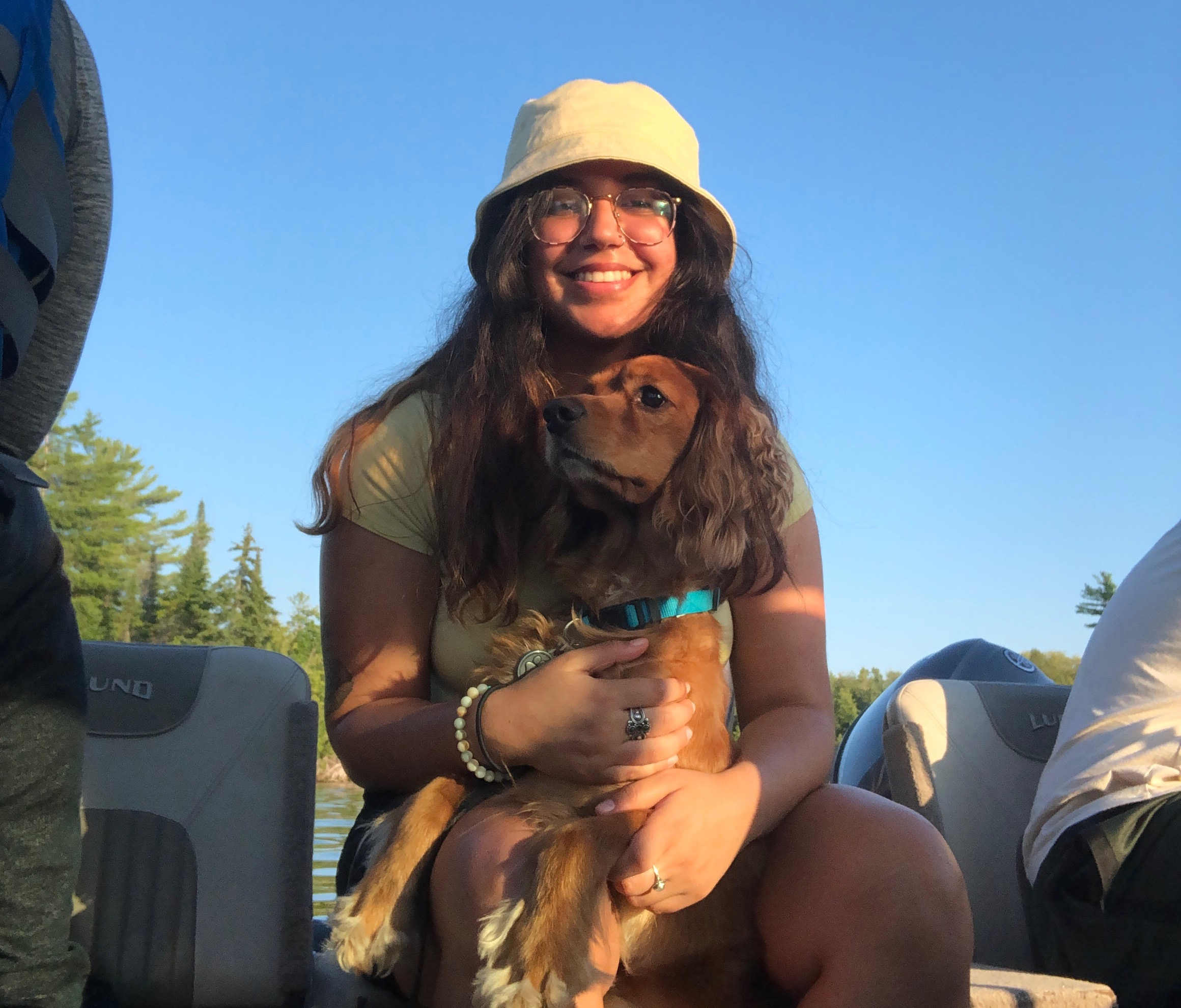
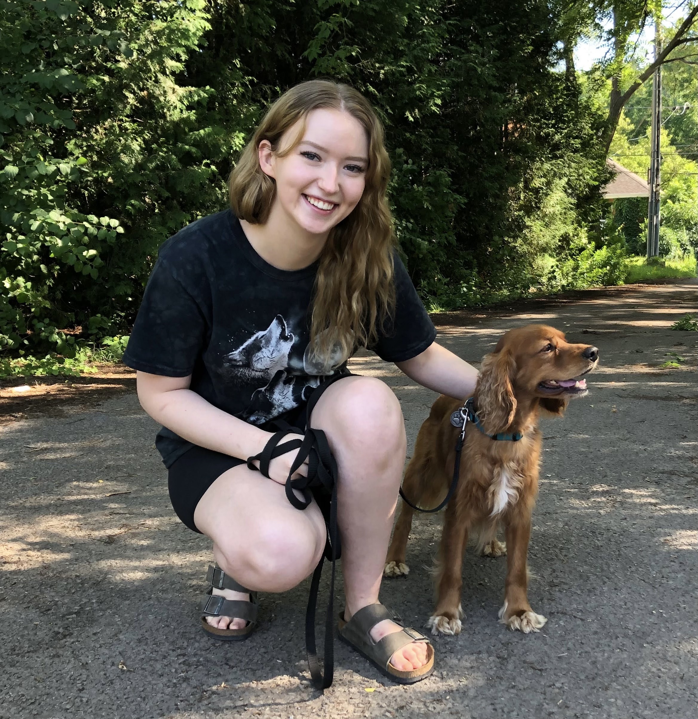
Esri Canada congratulates McDisaster, the winning team of the App Challenge 2022!
App: eastQUAKE
Hosted on GitHub:
- Project Website: https://esricanada-ce.github.io/ecce-app-challenge-2022/Team_McDisaster/app/
- Web AppBuilder ‘Vulnerability’ app: https://esricanada-ce.github.io/ecce-app-challenge-2022/Team_McDisaster/app/eastQUAKE_Vulnerability/
- Web AppBuilder ‘Near You’ app: https://esricanada-ce.github.io/ecce-app-challenge-2022/Team_McDisaster/app/eastQUAKEs_Near_You/
Hosted in ArcGIS Online:
- ArcGIS StoryMap: https://arcg.is/q0THq
- Web AppBuilder ‘Vulnerability’ app: https://mcmaster.maps.arcgis.com/apps/webappviewer/index.html?id=b0355dad034049db80e38ee7bde939d3
- Web AppBuilder ‘Near You’ app: https://mcmaster.maps.arcgis.com/apps/webappviewer/index.html?id=5a6aa45d124147448d917ad9d0cb0e3f
Mission Statement
When we think of earthquakes in Canada, most of us think of the high magnitude Earthquakes that happen on the West Coast, in British Columbia along the Cascadia Subduction Zone. However, approximately 450 earthquakes occur in eastern Canada each year, and the people living there don’t even know the extent of this risk.
Though many earthquakes have occured over time, only some are listed as being historic due to a variety of factors - magnitude, extent of impact from damage, number of casualties. Earthquakes are often measured using the Moment Magnitude scale, which measures the energy released by an earthquake, from 1 to 10. Each step in magnitude is approximately 30 times the amount of energy as the previous step. This means that an earthquake of magnitude 2.0 releases 30 times the energy as a magnitude 1, and a magnitude 3 earthquake releases 900 times the energy of a magnitude 1. However, magnitude alone doesn’t necessarily determine the destructive capabilities of an earthquake, which is often what we as people care about - the resilience of the communities we built, and the lives of those we love.
The primary purpose of eastQUAKE is to first and foremost raise awareness of earthquake vulnerability in eastern Canada. Seismic hazard maps compare the relative hazard of all of Canada, so eastern Canada will always seem low hazard compared to the West coast. However, we know from historical earthquakes that large magnitude and damaging earthquakes can happen, and will inevitably happen again. Team McDisaster has released two interactive web apps available within the eastQUAKE Story Map, each designed to increase earthquake awareness for Eastern Canadians: eastQUAKEs Near You and eastQUAKE Vulnerability. These applications are designed to communicate risk factors associated with vulnerability to earthquakes.
Video Presentation
Documentation
Team Members
 Madinakhon (Madina) Sulaymonova: I am currently an ECCE Student Associate and in my fourth year of honours Environmental Sciences Co-op. I am on a track to attain a Certified GIS Professional (GISP) accreditation, by which I plan on carrying out my interest in GIS with my passion for epidemiology. Currently, I am working on a Senior Thesis that involves the use of ArcGIS Pro and ArcPy, to study the association between automobile emissions in terms of fine particulate matter and inhalation intake throughout various routes in Hamilton, Ontario. My hobbies include walking to Starbucks while listening to true crime podcasts and playing APEX Legends.
 Angelina Abi Daoud: I am a first year Masters student at McMaster and a graduate diploma student with the United Nations University Institute for Water, Environment and Health. I also did my undergrad and a concurrent GIS Certificate at McMaster, where I did my thesis on the sedimentation and ichnology of Tūranganui-a-Kiwa Bay in New Zealand. My current research involves using drone imagery and measured sections to characterize the stratigraphy and facies architecture of the Dunvegan Aquifer in the Liard Basin, Northwest Territories to mitigate hydrocarbon contamination risk caused by nearby fracking developments. Outside of academics, I love taking care of my plant jungle, raising my two baby hamsters, crocheting, and hiking.
 Olivia Maddigan: I am a fourth year Geography and Environmental Science Co-Op student with a passion for GIS. My senior thesis project focuses on respiratory health determinants in Hamilton, Ontario. Outside of school, I can be found reading obscure Wikipedia pages, drinking herbal tea, and playing with my two cats (Lucifer and Felix).