App: RackHero
Hosted in ArcGIS Online:
Mission Statement
RackHero is designed to make personal cycling a more reliable and practical mode of transportation by addressing one of its most overlooked challenges: finding safe and dependable bike parking infrastructure. RackHero combines existing municipal data with crowdsourced data to create a platform where users can discover, rate, and report the state of bike parking infrastructure across Canada.
RackHero combines user-generated ratings across safety, shelter, maintenance, and crowding with aggregated municipal datasets on existing bike infrastructure. Moreover, RackHero helps keep cyclists and commuters safe by enabling users to report hazards and highlight infrastructure issues such as damage, vandalism and poor maintenance of personal / municipal assets.
By reducing uncertainty and anxiety of managing the final leg of cycling trips. RackHero encourages more people to choose cycling and other active transportation options, while also generating valuable insights that can inform future urban planning efforts, creating a feedback loop where crowdsourced data from cyclists helps shape the future of biking infrastructure in their cities.
Video Presentation
Documentation
Team Members
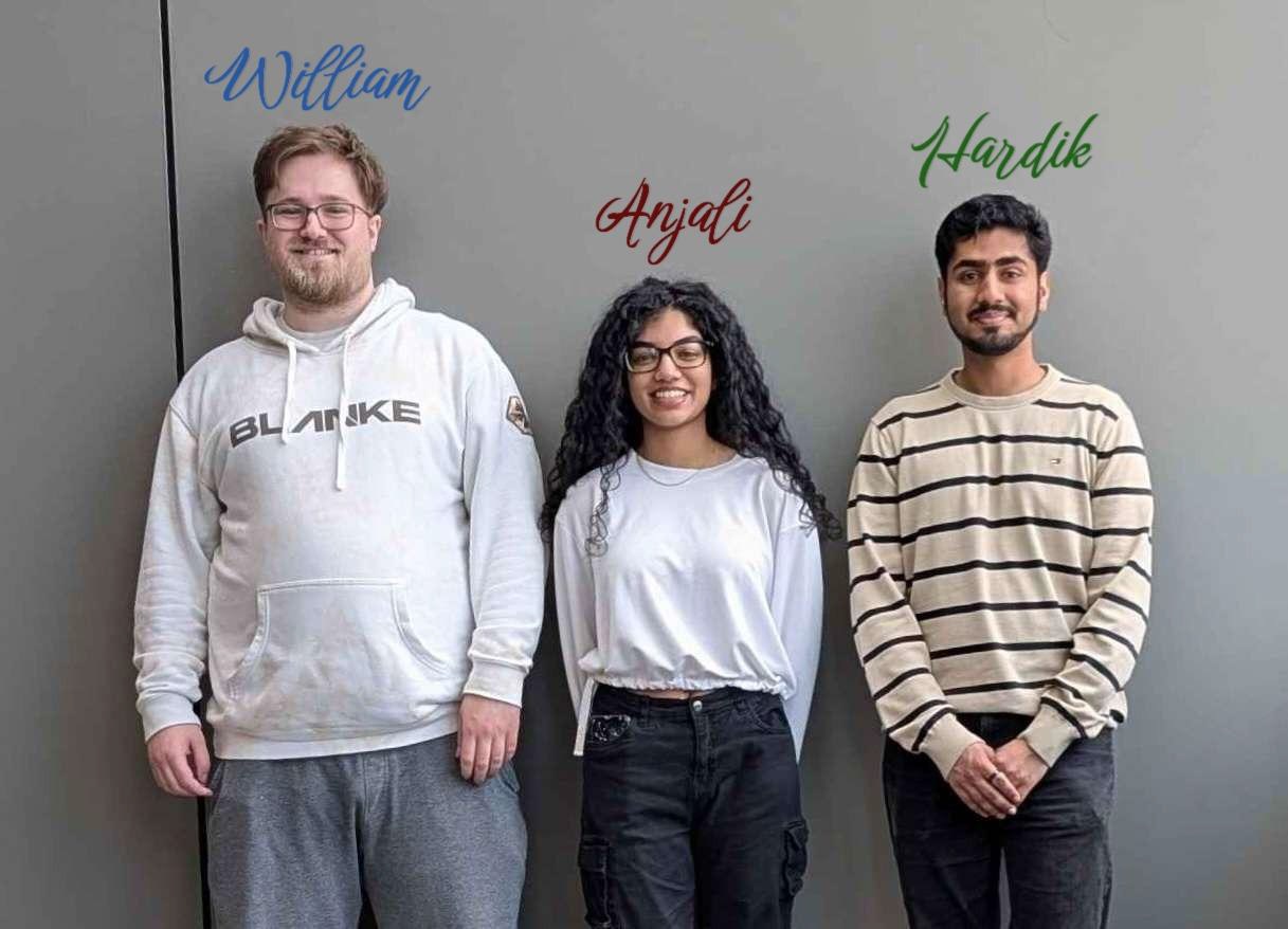
Anjali Khan: Anjali Khan is a computer science specialist and GIS major expecting to graduate this year. On top of being an ECCE student associate, she works as a GIS Analyst and has built several Esri-based systems that span backend database design to user-facing applications. She has experience with many of Esri's online softwares such as Experience Builder and Field Maps, and is interested in database design, workflow pipelines, and geospatial automations.
Hardik Narkhede: Hardik is currently in his fourth year as a computer science specialist and math minor with a certificate in Computational Linguistics. He has completed the base level courses related to GIS and has a strong understanding of its foundation and application. Additionally, he has completed a one-year internship as a Data Analyst where he worked with geospatial data extraction, transfer and loads from ArcGIS Roads and Highways webserver, QGIS, and GeoPandas.
William Mitchell: William Mitchell is a fifth year GIS and Economics student with a passion for urban infrastructure and public transportation. He has a deep understanding of how geospatial data can be applied in various parts of everyday life. After his undergrad, he plans to pursue a masters degree in economics, and look for a job with the government after graduation.